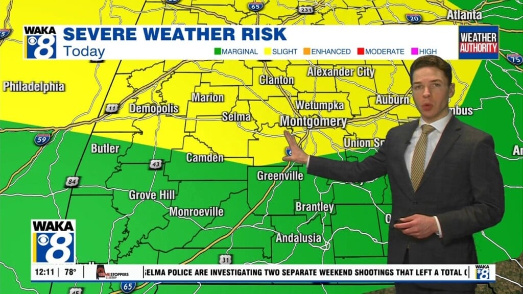
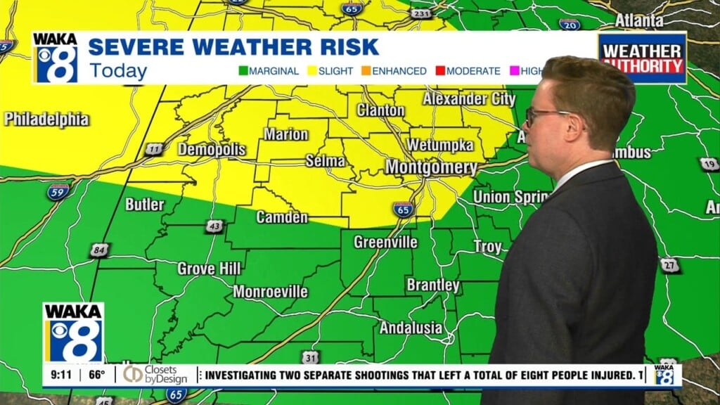
Storm Threat Through Midnight
The last of the rain and storms depart around 1AM and we’re gradually clearing towards Thursday morning. A mainly clear and cooler weather pattern is setting up for late week and the upcoming weekend. A northwesterly wind flow will usher in the cooler air. We’re only managing highs in the mid to upper 60s Friday and Saturday. Morning temps will be rather chilly with upper 30s likely over the weekend. There will be a frost threat over our northern counties and that may require taking care of those tender plants. It’s a brief cold snap and what we often expect this time of the year. We’re quickly back to a warming trend beginning Sunday and continuing into next week. Lower 80s are back but so is increasing moisture that will eventually lead to more rain. Scattered showers and storms are possible Tuesday and Wednesday. Stronger to possibly severe storms are going to be a threat for Thursday.


