Frontal Passage Late Week
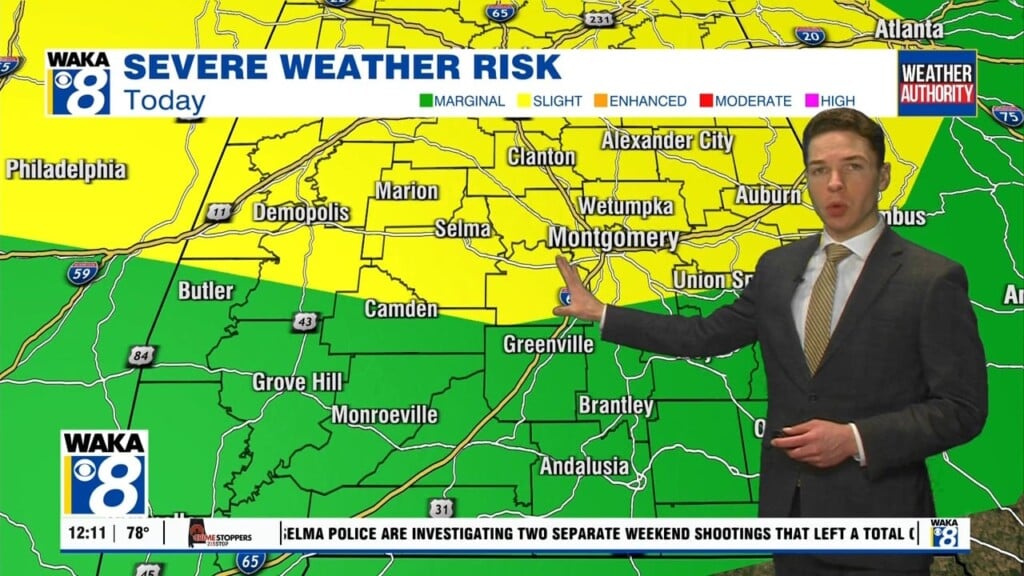
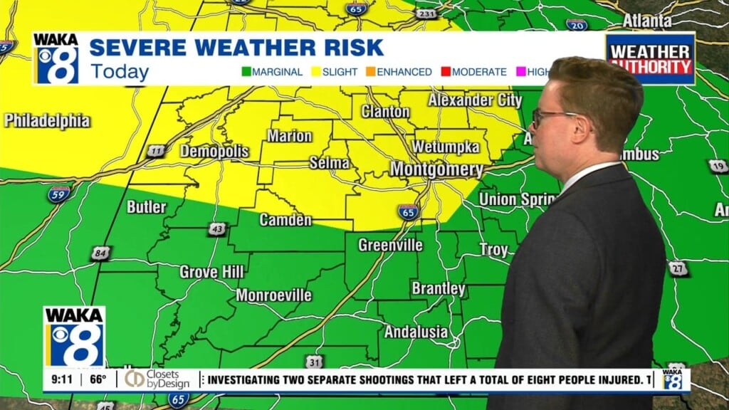
Hot and humid conditions are in full force across the area this week. High pressure continues to help maintain this summer-like setup. We see this sticking around through Thursday. Each day will support 90 plus degree temps for afternoon highs. Scattered showers and storms are possible during the late afternoon heating. These will help knock the heat off in spots. We expect a few more showers and storms to work across the area Thursday into Friday. A frontal boundary moves into the state and enhances the risk of storm activity. Looks like the front will push through and we’re back into dry conditions over the upcoming weekend. High pressure returns along with a northerly wind flow and that should feel a little better for a change. Abundant sunshine will continue to heat up the air but the drier northerly wind flow should make it feel less humid for a few days.


