An Active Weather Pattern Lingers Into The Weekend
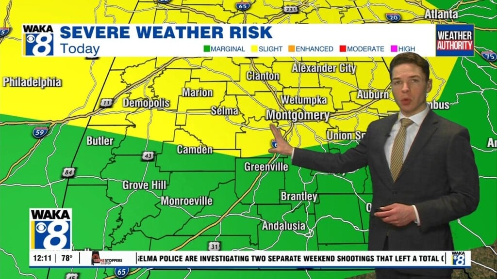
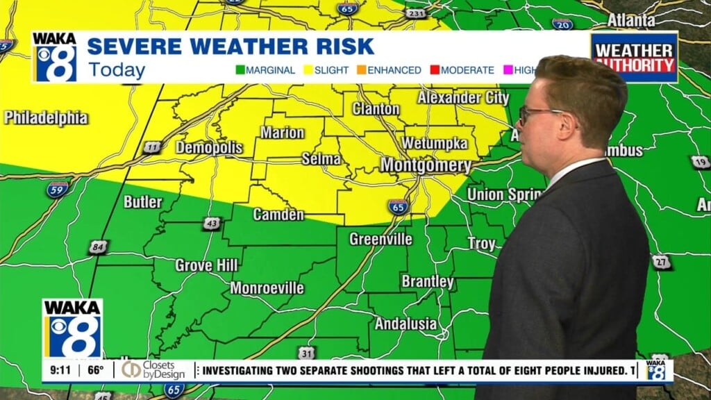
We head into Thursday with another complex of rain/storms moving towards the area. Rain/storms will push eastward during the morning commute. We expect the rain activity to taper off as northwesterly winds move in behind the morning storms. The afternoon is looking partly sunny with temps still managing the lower 90s for highs. Another round of rain/storms moves into the area Friday. This rain activity will develop along and ahead of a frontal boundary. Some of the storms could be strong and possibly severe. The main threats will be damaging winds and hail. Clouds and rain activity will hold temps down a bit into the upper 80s for highs. The front moves into south Alabama and stalls It will be the focal point for daily rounds of showers or storms. Most spots north of the front will see less rain activity Sunday and most of next week. High pressure returns and we’re back to mostly sunny and drier conditions for a change. We see temps climbing back into the lower to mid 90s for highs.


