More Rain/Storms Ahead
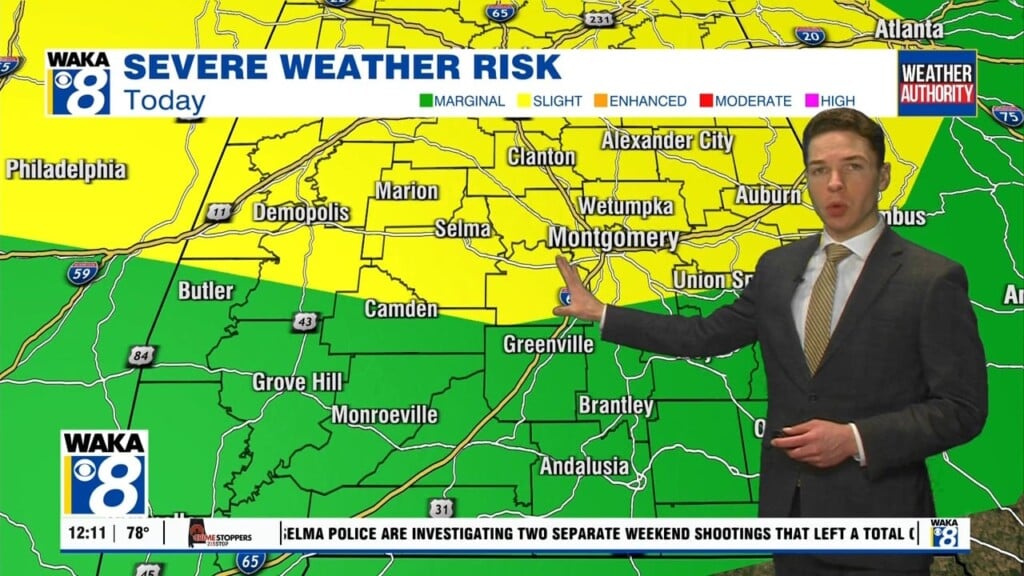
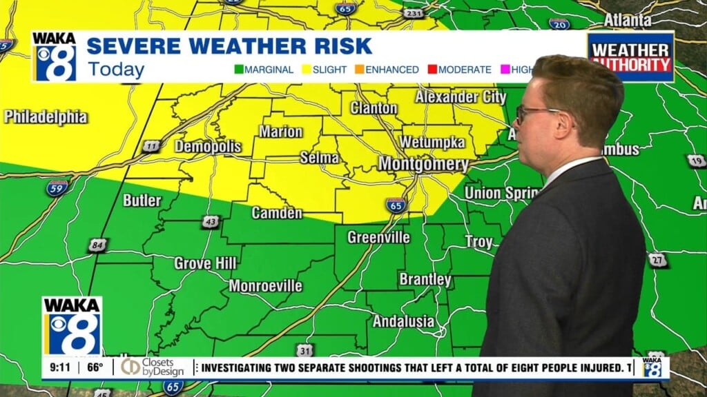
A frontal boundary has moved into the state. A little drier air has flowed into the area and that’s helping to keep most spots rain free. This setup will continue overnight into early Friday. We expect a disturbance to make its way into the area Friday afternoon. Another round of rain and storms are likely to work across the state Friday afternoon. Some of the storms could be strong to possibly severe. The main threats will be damaging winds and hail. The frontal boundary will continue to hover over South Alabama Saturday. It will become the focal point for additional storms. High pressure begins to dig in and set up camp over the deep south beginning Sunday and continuing into most of next week. This will help keep the area mostly rainfree and rather hot. We’re expecting afternoon temps to top out in the mid 90s beginning Monday. A few spots could even see upper 90s by the latter half of the week.


