Oppressive Heat, But Cooling Showers, Storms Possible
It was another hot and humid morning across central and south Alabama. Temperatures rose into the low 90s with heat indices near or above 100° prior to noon. Tuesday temperatures peak in the mid to upper 90s again. Meanwhile, heat indices peak near 108°. A heat advisory continues until 7PM Tuesday for southwest Alabama, and until 7PM Wednesday for central Alabama. However, it appears Tuesday features a better chance for cooling showers and storms than Monday did.
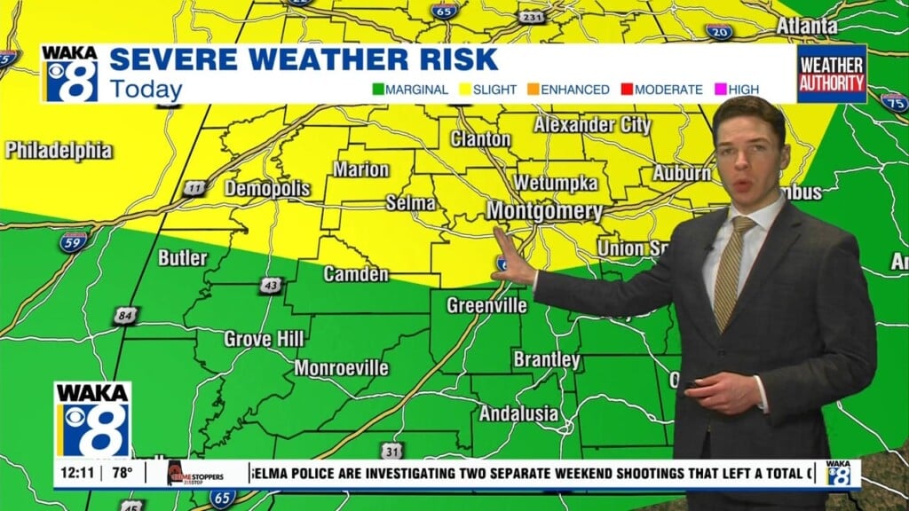
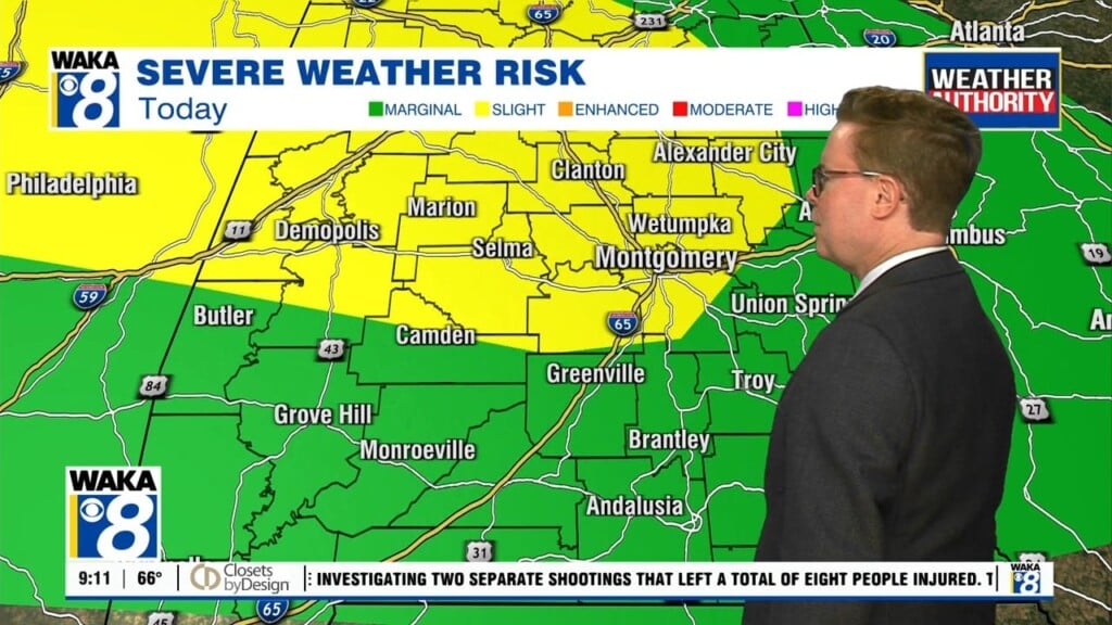
Unfortunately, exceptional heat and humidity also means a tremendous amount of instability. That means storms could become strong to severe Tuesday afternoon and evening. The strongest storms could produce damaging straight-line winds up to 60 mph and hail up to quarter (1″) size. A marginal (level 1/5) severe risk area includes east-central Alabama.
Ultimately showers and storms gradually diminish Tuesday night, and Wednesday morning looks generally rain-free. However, additional scattered showers and storms form during the afternoon and evening. Again, a few of these storms may become strong or severe. Our area lies within a marginal severe risk area, with primary risks of damaging wind and hail. Otherwise, Wednesday looks partly cloudy and hot with highs in the mid to perhaps upper 90s.
Rain chances gradually decrease for the rest of the week. However, the heat and humidity may not be quite as bad Thursday and Friday. Both days still feature above-average heat, with highs at least in the mid 90s each day. Heat indices could easily be above 100° for most of each afternoon. And although rain chances look lower, at least isolated shower and storm development helps curb the heat for some locations each afternoon.
Father’s day weekend looks hot, but perhaps less humid. Models show a “cold” front pushing through Alabama by Saturday morning. While afternoon temperatures still peak in the mid to perhaps upper 90s, the heat index may not be much higher than air temperatures. Plus, temperatures also cool off more overnight, into the low 70s, perhaps upper 60s in the case of Saturday night.
However, the drier air also means an abundance of sunshine and near-zero rain chances. It appears rain chances remain near zero early next week, while temperatures remain hot. Afternoon highs reach the mid, maybe upper 90s Monday and Tuesday.


