Warmer Days Ahead This Week!
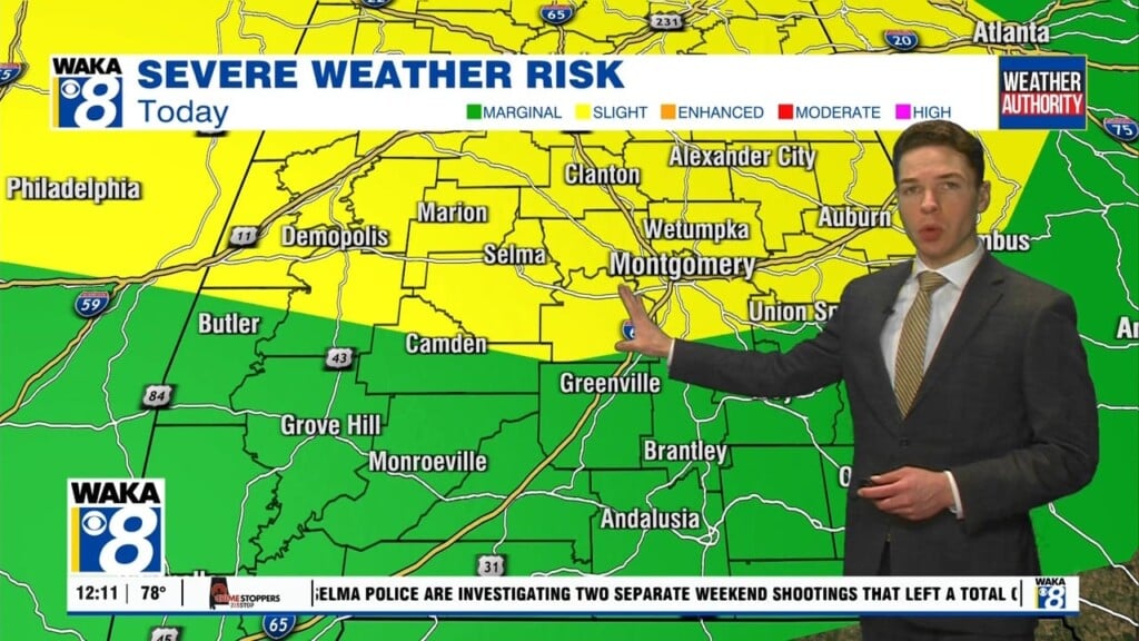
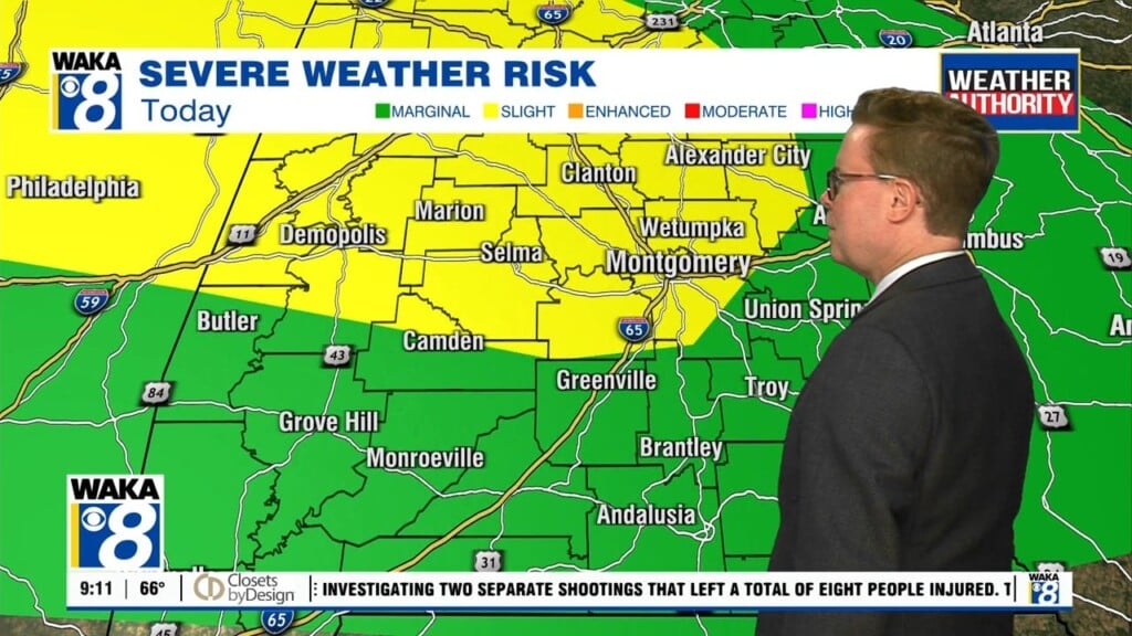
The Arctic air continues to linger over the deep south and we start the work week out cold. We will feel low to mid 20s for lows Monday morning but temps do climb into the mid 40s by late afternoon. This will be the beginning of the big thaw that will take place the remainder of the week. High pressure over the region will provide lots of sunshine and temps respond with highs in the 50s Tuesday, 60s late week, and lower 70s possible over the weekend. It’s a rather quiet weather pattern through Thursday but a disturbance moves into the area Friday into Saturday. This will be a rain maker and possibly generate a few storms as well. New Years Eve is looking a bit wet and that could have some impact on your celebration plans Saturday night. We’re in between systems Sunday and that should lead to a pretty decent New Years Day.


