Strong to Severe Storms Possible Today
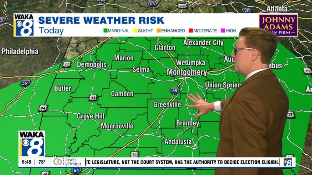
A Level 2/5 Slight risk is in place for much of our area, as a line of storms will be moving our way in the midday hours. While the primary threats will be damaging winds and hail, a few isolated tornadoes cannot be ruled out. Storms will be entering the western part of the state around 10am, central around noon and eastern around 3pm. The better ingredients for today remain farther to the south, but do not discount today’s potential for severe weather. Highs will be in the low 70s. Clouds and showers hang around tonight with lows in the low 60s.
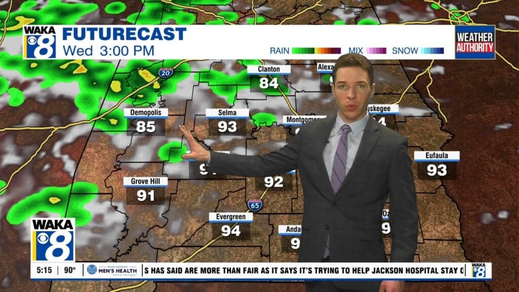
Friday will start off with clouds overhead and potentially a stray shower or two, but the chance of rain diminishes throughout the day. Highs will be in the upper 70s and low 80s.
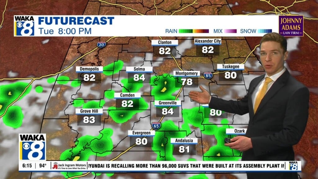
Another system will bring rain and storms to the area Saturday night into Sunday morning before a much calmer week will be in store for us next week.