Rain Activity Returning To The Area
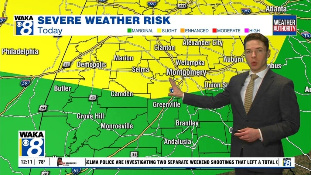
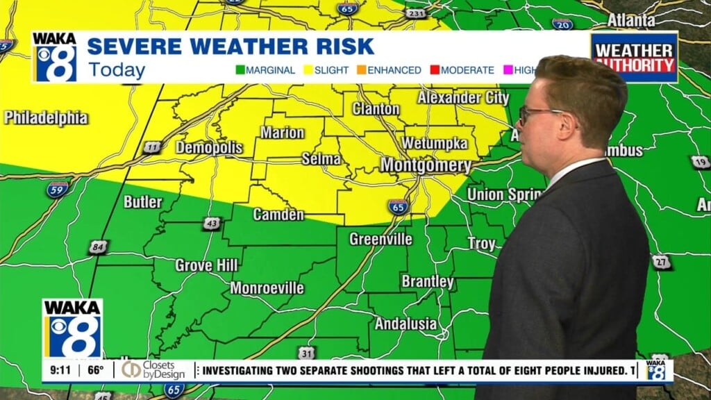
Our cool and dry weather pattern is coming to an end. We’re expecting clouds and rain activity to take over and it’s going to have some impact on your outdoor weekend plans. High pressure has moved over us but it will shift east of us Friday. Moisture is already beginning to flow into the area and clouds will be increasing overnight. The increased moisture could lead to scattered showers and a few storms Friday and throughout the weekend. Another source of rain activity could come from a storm complex moving towards west Alabama Friday morning. These storms would be mainly across our western most counties during the day. Some of the storms within the complex could be strong and possibly severe. The main threats will be damaging winds and hail. We will maintain the risk of showers and storms throughout the weekend. The southerly wind flow transporting the moisture will also bring in warmer air. Temps will only fall into the 60s for lows and daytime highs manage the lower to mid 80s. We don’t believe it will be a washout but some of your outdoor plans may be impact either Saturday or Sunday. The warmer and humid weather pattern will continue into the start of next week. It’s looking like mid to upper 80s with scattered showers or storms possible each day.


