Several More Rounds Of Rain & Storms Ahead
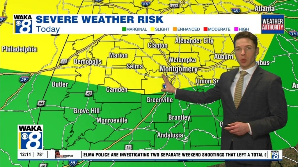
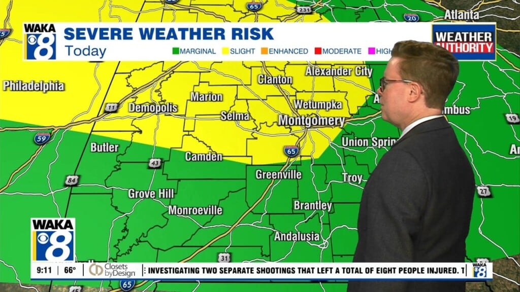
An active weather pattern will keep periods of rain and storms moving through our area through late week. A frontal boundary draped across the state will be the focal point for the rain activity. Disturbances riding along the boundary will help trigger the rain and storms. Some storms could be strong and possibly severe Wednesday afternoon. The Storm Prediction Center has us in a marginal risk (1 out of 5) on the storm scale. The main threat will be damaging wind gust. We see the front fading away and leaving us in between systems Friday. This could keep the coverage of rain down for Friday but just in time for the weekend, another front approaches our area. The front will advance eastward and kick off showers and storms Saturday. We’re on the backside of the boundary Sunday into early next week. Our rain chances will decrease but our temps will begin to creep up again. Looks like we will be hovering around the mid 80s for highs. That’s about where we should be for mid May.


