Less Humid Air Heading Our Way
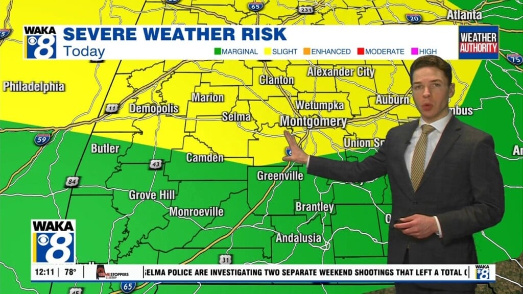
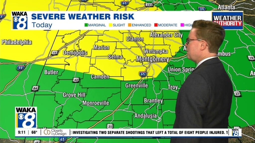
We will continue with a chance for showers and storms through Thursday of this week. A frontal boundary will push through the area late Thursday. We’re on the backside of the front Thursday night and that’s when drier air spills into the state. This will be less humid air and you will notice the different. Our sky will be mostly clear and temps very comfortable, especially during the early morning hours. We could see upper 50s to lower 60s both Friday and Saturday morning. The drier air will heat up under mostly sunny skies Saturday. Temps will manage lower 90s for highs Saturday afternoon. Moisture will quickly return and we’re back into scattered showers and storms Sunday. This activity will be ahead of another frontal boundary moving our way early next week. Rain and storms are likely for Monday. If that boundary can make it through here, we will trend hot and dry again around the middle of next week.


