A Wet & Stormy Weather Pattern Lingers
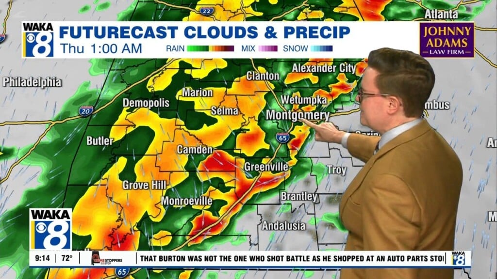
Our wet and stormy weather pattern doesn’t seem to want to let up anytime soon. We remain in a favorable position for storm systems to track right through our area. We continue to see these systems lined up in the model data and there are several more to go before our weather settles back into a typical June setup.
Tonight is looking a little less active with rain and storms tapering off during the early evening hours. This will keep it a lot quieter than how its been over the last couple night. A rumble or two is not out of the question but severe threats diminish significantly.
Friday is a different story and there could be another round of strong to severe storms during the early morning hours. A storm system will move out of Mississippi and track through parts of the area. Storms will be capable of damaging winds and large hail. We don’t see an all day rain event and most of you will see some sunshine. This should allow temps to climb into the upper 80s to low 90s in spots.
This weekend will be wet and stormy at times but not a washout. More of these storm complexes will travel through the region. The usual threats of strong winds and hail will be possible. Where rain and storms don’t occur, we expect partly sunny skies with temps in the upper 80s to lower 90s.
We’re no doubt in an usual weather pattern setup for June but we should gradually begin to work out of this as we progress through the following work week.


