Rising temps and rain chances by the end of the week
We get back into a more typical late-summer pattern as on Wednesday we’ll see our flow transition from the northwest to out of the south and southwest, increasing humidity levels across the area. For now, heat index values will stay below advisory criteria, but the mugginess will be retuning. Only a few isolated storms are possible with highs in the upper 80s to the mid 90s.
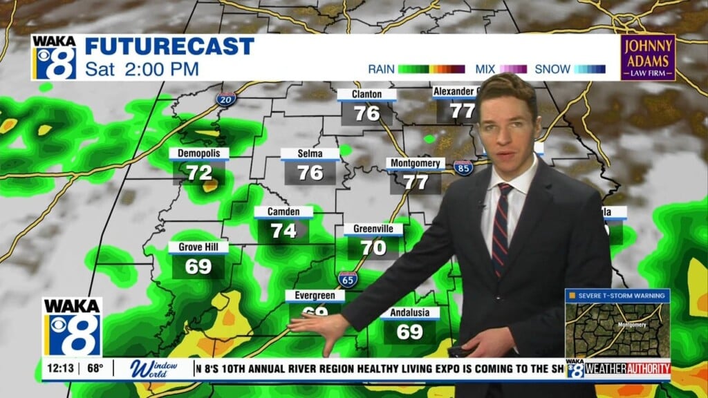
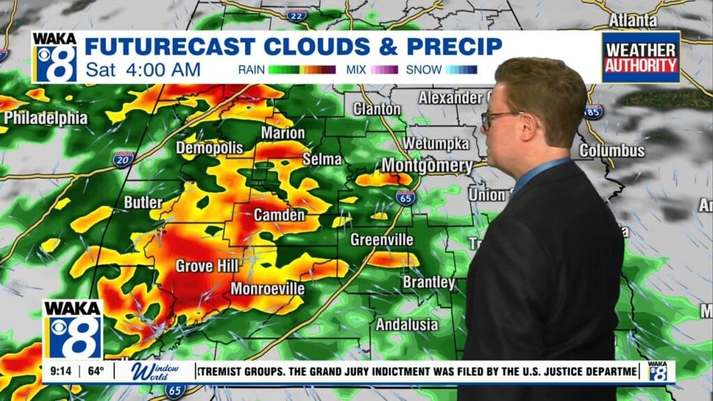
An impulse looks to move into the area on Thursday that will fire off multiple scattered showers and storms mainly during the main heating of the day and into the evening, but don’t be surprised if one or two fire off during the morning. The coverage of rain and cloud cover will keep high temperatures in the mid 80s to the lower 90s. We’ll have to watch for a few strong storms along with heavy rainfall.
More scattered showers and storms can be expected during the afternoon to evening hours across Central Alabama on Friday, as rain chances remain higher. A few strong storms may develop with gusty winds. Highs in the upper 80s to the lower 90s.


