An Active Weather Pattern Returns
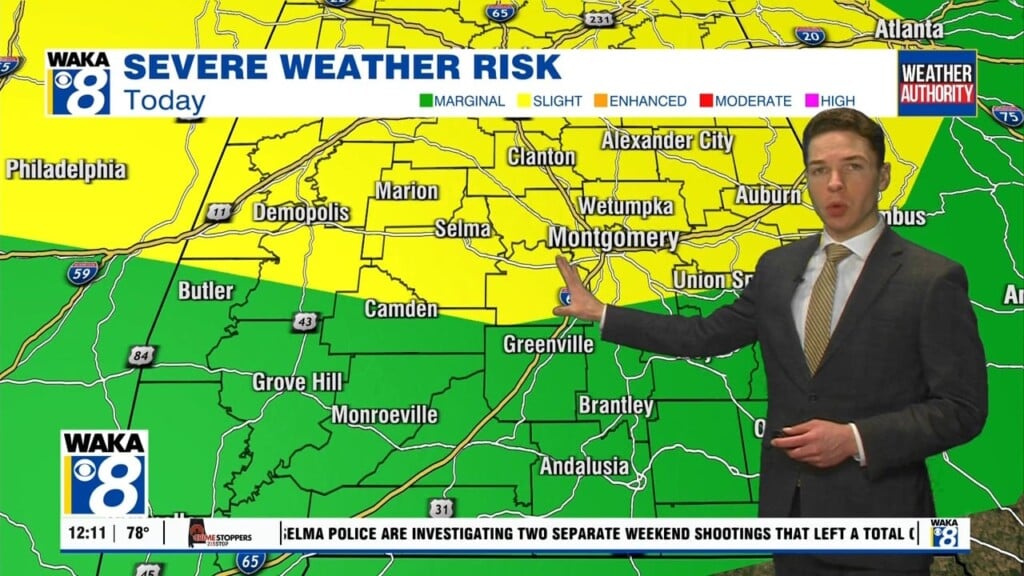
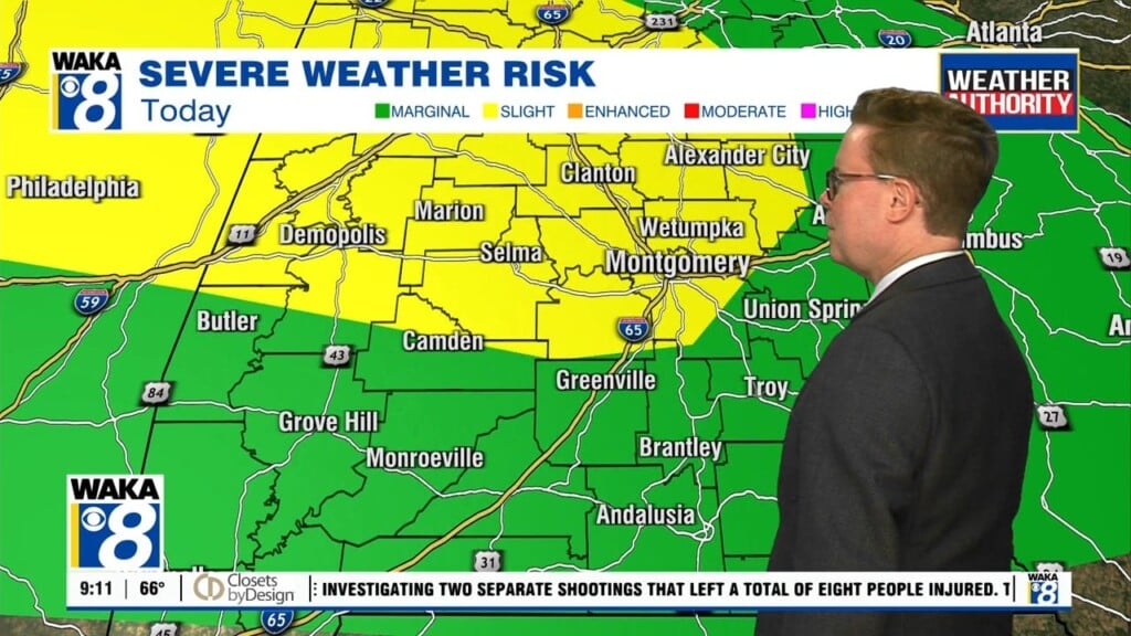
We’re heading back into an active weather pattern late week and over the weekend. Moisture is on the increase and this will be the fuel needed for those afternoon showers and storms. There’s also the potential for complexes of storms to move southward into the area. These storm systems can pack a punch and we could see one as early as Thursday afternoon. The NWS has placed most of the 80/85 corridor in a marginal risk (1 out of 5) for severe storms. The threats will be damaging winds, frequent lightning strikes, hail. and heavy downpours. Temps are still expected to reach the lower to mid 90s for highs the rest of this week and weekend. We have to factor in the humidity and that will make it feel more like 100 to 105. Some locations in west Alabama could climb to 105 to 109. Those showers and storms will be welcome relief from the August heat. The active weather pattern will spill over into early next week as well. We expect the daily rounds of afternoon showers and storms to continue through at least Wednesday. Rain activity should have an impact on temps. Lower 90s are looking more likely for afternoon highs.


