Clouds And Rain Helping Us Beat The Heat
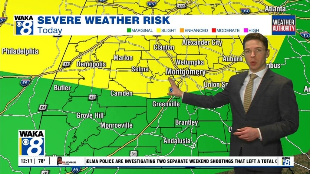
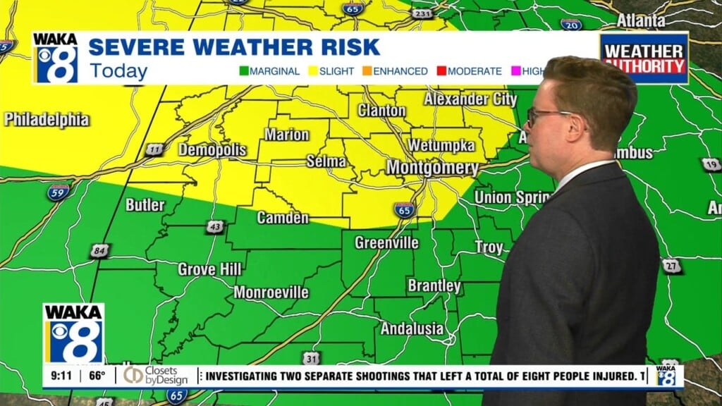
A frontal boundary has moved into the region and it will be the focal point for additional rain and storms through midweek. Storms across the area now will linger into the evening hours. The better chance for additional storm activity will favor areas west of I-65. Eastern areas have been worked over and rain cooled. This should help keep it quiet until more storm development tomorrow. In the meantime, the rains have taken a dent out of the heat. Looks like the heat wave is over and now temps will return to level normal for this time of the year. Upper 80s to lower 90s for a few days will feel a lot better than the 102 degree temps over the past weekend. The frontal boundary over us will eventually lift northward and out of the area late Wednesday. High pressure will build into the region and help provide us a bit drier conditions. We expect lots of sunshine through the latter half of the week and upcoming weekend. Temps will quickly respond and we’re back into the mid 90s over the weekend.
Tropical Storm Idalia is closing in on reaching hurricane strength this evening. The storm will have very warm gulf waters to aid in development. NHC has the storm becoming a major hurricane before landfall. That landfall is likely to take place early Wednesday morning somewhere along the big bend of Florida between Port Saint Joe and Tampa. Our gulf coast areas will be on the westside of the storm track and that’s the less impacted side. Closer to home, it’s looking like showers and possibly a few storms Wednesday. The circulation around the hurricane would provide us a nice northerly wind flow. Temps may only manage upper 80s for highs.


