A Wet Friday Night Ahead
We’re in between rain makers at the moment but the next round of rain will be heading into the area later Friday afternoon. It’s going to be a good rain event and most of the rain falls during the overnight hours. That should open up decent conditions for outdoor plans both Saturday and Sunday.
In the meantime, we expect a mostly clear sky overnight. Temps will drop into the lower to mid 30s for lows. We’re back into sunshine early Friday but clouds will be on increasing with skies mostly cloudy by the afternoon. Looks like temps will top out in the mid to upper 50s with a few spots snagging 60 degrees.
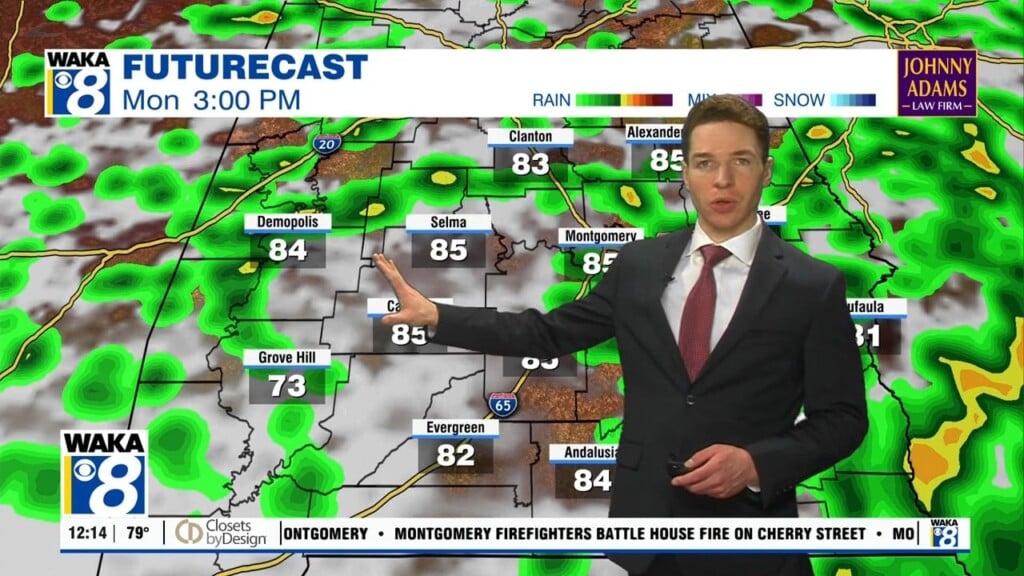
The next round of rain will begin working into the area late Friday afternoon. It’s an area of low pressure moving along the northern gulf coast region. Once again, it’s all rain with no severe storm threat. The system will move through late Friday night into early Saturday morning. Rainfall potential will range between .50 to 1 inch.
Looks like the rain will be gone for most of your Saturday. Sunday should turn out to be a fairly decent day as well. Temps during the weekend will manage upper 50s to lower 60s for highs while overnight lows hover in the lower 40s. We expect partly sunny and dry conditions to continue into Monday but there’s another rain maker setting up for late afternoon Monday into Tuesday of next week. This system could be a bit stronger and will need to mention the risk for severe storms. We will continue to keep you updated on the threat as we get closer to the event.