The Heat Is On This Weekend !
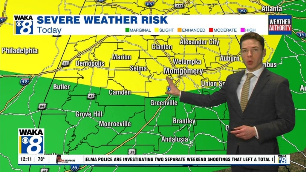
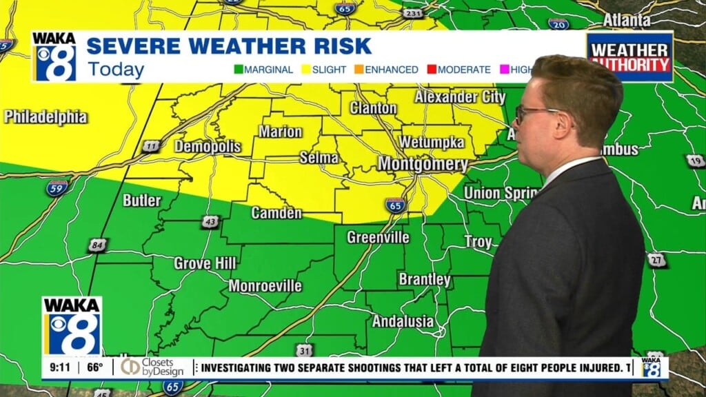
A moisture rich and unstable air mass continues to support rain and storms this evening. Some storms will be capable of gusty winds and hail. Once the sun sets, most of the rain activity begins to weaken and die out. Overnight is looking mostly cloudy with fog developing in spots. The rest of the long holiday weekend is setting up to be rather warm! High pressure will begin taking charge of our weather and setting off a warming trend. It starts out with those pesky low clouds and fog early Saturday but sunshine will prevail through the midday and afternoon hours. The exception will be where scattered storms develop. Temps soar into the upper 80s and lower 90s both days. A continuous flow of gulf moisture is going to provide the fuel for showers and storms. Most storm activity develops during the peak heating afternoon hours. This will be the setup through at least the middle part of next week. Have a safe Memorial Day weekend!


