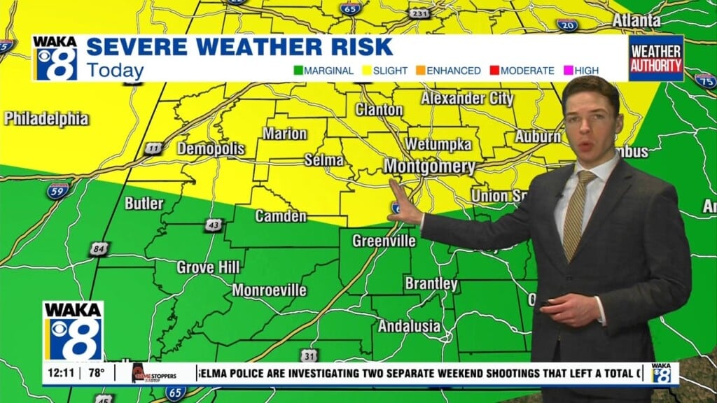
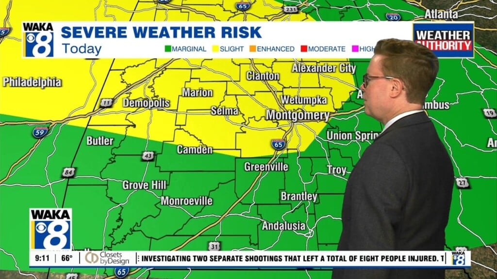
So much for a drier weather pattern across our area this week. It now looks like gulf moisture will continue to flow into the state and this will lead to occasional showers and storms. There will still be ample sunshine and this will aid in temps warming into the upper 80s to around 90 degrees each afternoon. We’re watching the gulf for the progress of T.D. #3. It will be hovering over the southwestern gulf throughout the week but make a move toward the U.S. Gulf coast by the upcoming weekend. Right now, the model data wants to bring the system into the Texas coast over the weekend. Any changes to the right of this track slowly brings our area into the mix. Let’s just watch how things go through the week but do be mindful we could be dealing with an increased rain/storm threat late in the weekend into early next week.


