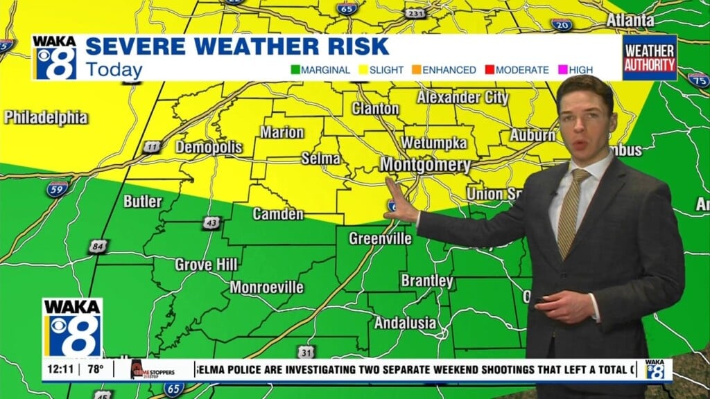
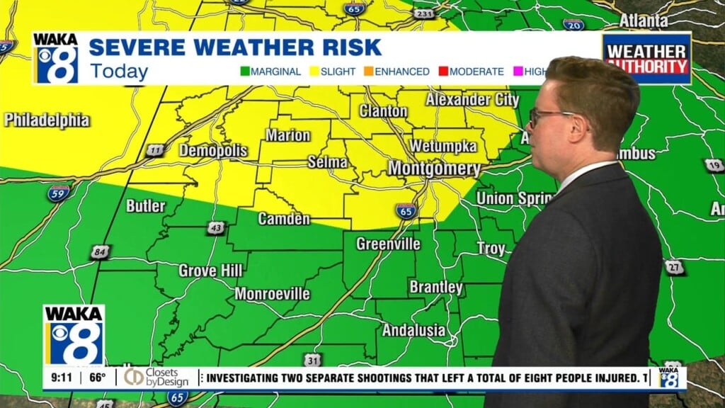
Active Weather Pattern This Week
We have an active week of weather around our area. A frontal boundary is just to our west. Ahead of it, we have a moist and unstable air mass. This will lead to several rounds of showers and storms over the next several days. Some of the storms could be strong and even severe at times. The main threat would be damaging wind gust. Rainfall potential through late week will range between 1 to 2 inches in spots. If it’s not raining, you can expect hot and humid conditions. Temps will manage mid to upper 80s most of this week. You factor in the humidity and it’s a bit uncomfortable. By Friday, the front has fizzled out and high pressure builds over the deep south. We begin to see fewer storms and the heat cranks up again. Highs will climb back into the lower to possibly mid 90s over the upcoming weekend.


