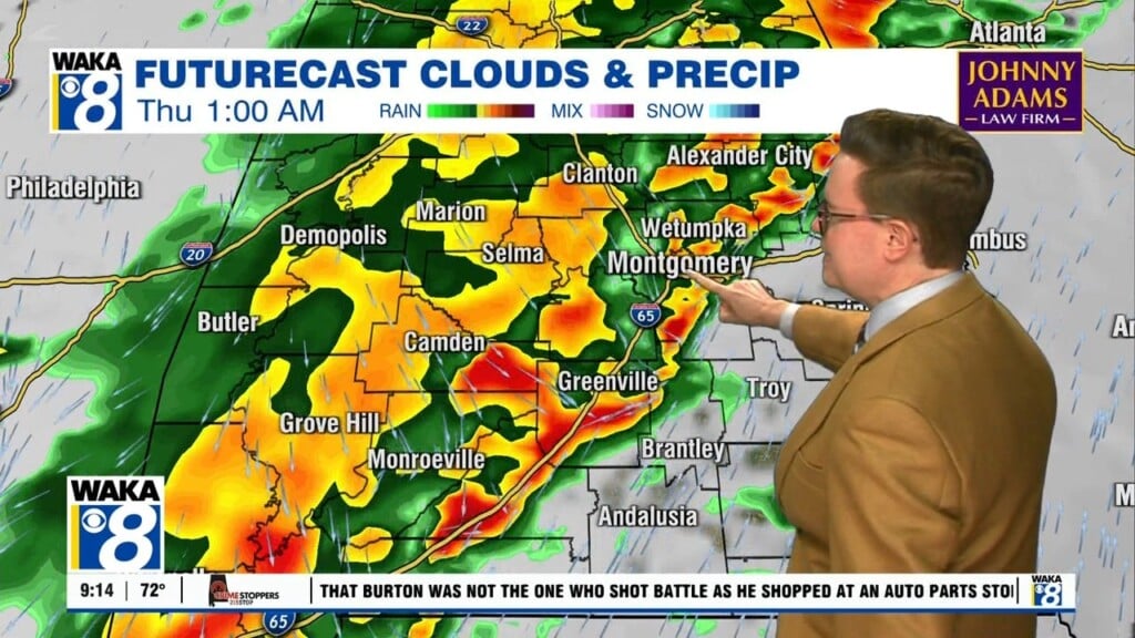
During the weekend, we expect an upper level feature to continue hovering over the region. This system will help keep a decent chance for showers and storms in the picture throughout Saturday and Sunday. Mornings will start out uneventful but once we get into the afternoon heating hours, showers and storms will develop. Any storm development will lead to heavy downpours, gusty winds, and frequent lightning strikes. High temps should manage upper 80s to lower 90s each day.
Next week begins to look interesting as we track two tropical systems. One in the Atlantic (T.S. Laura) and the other (T.D.#14) moving through the northwest Caribbean. We expect these two tropical systems will eventually end up in the Gulf of Mexico. Right now, it looks like T.D.#14 will track more to the west and probably impact Texas Monday into Tuesday. T.S. Laura has a lot of obstacles to over come on its journey but it is forecast to become a hurricane and be in the central gulf Monday. The official forecast track moves it mainly south and west of our gulf coast but that could easily change. We’re in a wait and see how the storm survives the track through the northern Caribbean over the weekend. Whether we get a direct impact or not, lots of tropical moisture will be pushed into the region and our rain chances could go up significantly around the middle of next week. Stay tuned and have a great weekend!


