Some Tropical Impacts Locally From Sally
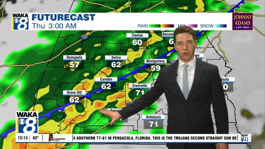
T.S. Sally is approaching the central gulf tonight, The circulation around the storms is sending tropical bands into our eastern and southern counties this evening. We expect some brief heavy rain, and gusty winds in these bands. Several more of these bands will pass over the area Monday. Greater impacts to our area begin later Tuesday and continue through early Thursday. Main threat will be significant rainfall leading to flooding in some areas. Rainfall potential of 2-5 inches with some higher amounts south and westward. The second potential threat will be tropical tornadoes Wednesday into Thursday. Storms imbedded in the circulation could spin up a quick tornado. Winds around Sally will still be rather gusty when the circulation center passes over the state. Wind gust up to 30-40 mph will be possible Wednesday-Thursday. We should be on the backside of all this active weather Friday and better weather is ahead for the following weekend.


