Rain Then Turning Much Cooler!
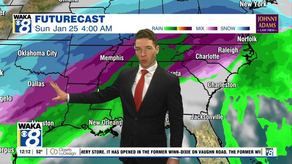
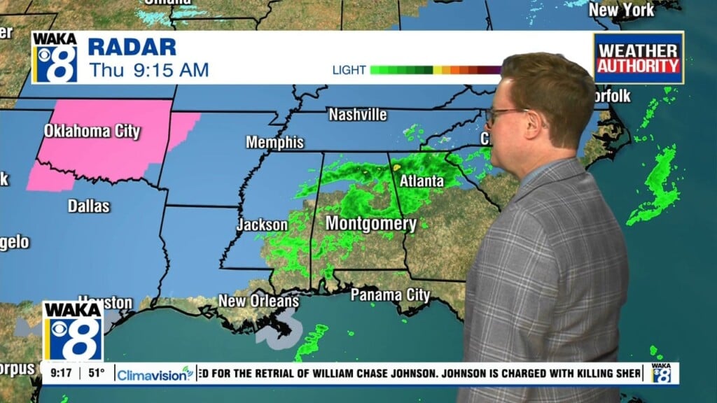
A true fall cold front will makes its way through our area overnight. Showers and storms move along and ahead of this boundary through the evening hours. Clouds and light rain linger behind the front Tuesday. This will have an impact on temps and highs may only manage mid to upper 60s. We basically go from upper 80s and lower 90s today to only 60s Tuesday. We do clear out and temps rebound into the 70s for highs the remainder of the week. Overnight lows fall into the lower 50s. Another cold front swings through the area late week. It looks like the front passes through here dry. The most noticeable change with this frontal boundary will be the drop in overnight temps. We expect upper 40s for lows Friday and Saturday night. There will be lots of sunshine and temps will recover for afternoon highs to reach into the mid to upper 70s. It’s definitely going to be a much cooler weather pattern and what you would expect going into October.


