Warming Trend Ahead
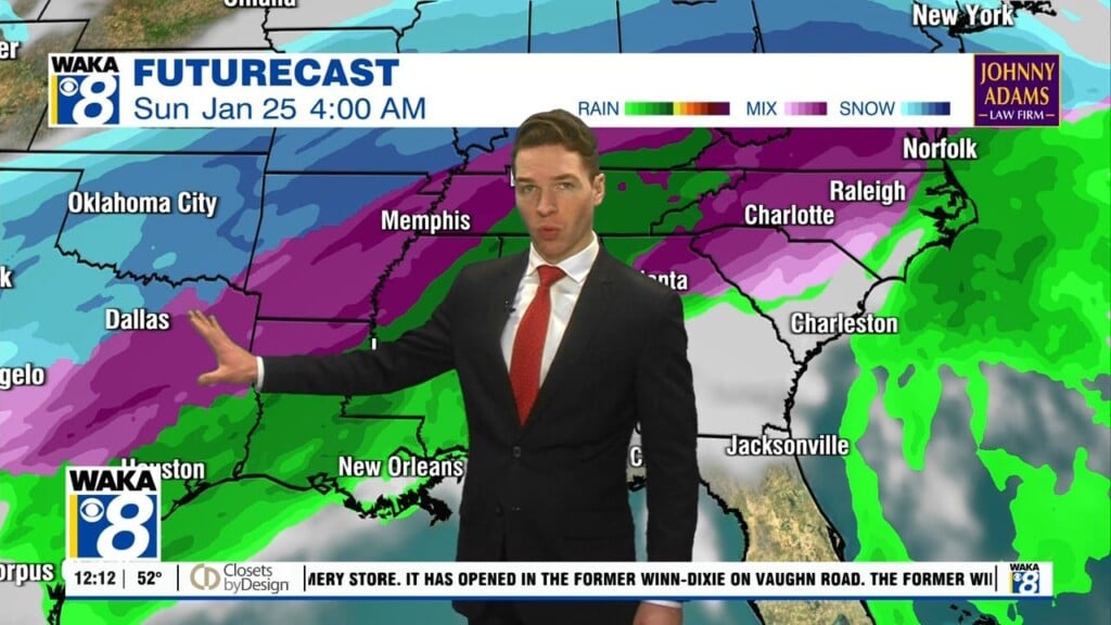
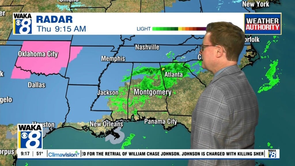
High pressure over the eastern US will continue to influence our weather. We remain mostly sunny and dry through midweek. Temps respond with highs in the low to mid 80s. Overnight temps climb and we’re back in the lower to mid 60s most of the week. Moisture begins to creep back into the area later in the week. This will lead to scattered showers returning to the area by Thursday. Our chance for showers will go up Friday and Saturday. A frontal boundary moves into the deep south and helps enhance to the chance for more shower activity. The frontal boundary pushes through the area but we will hold onto a chance of showers Sunday into Monday of next week. Much colder air will be lurking to our northwest early next week. At some point, it will spill into the deep south during that work week. In the mean time, temps will continue well above the average highs for this time of the year.


