Warm
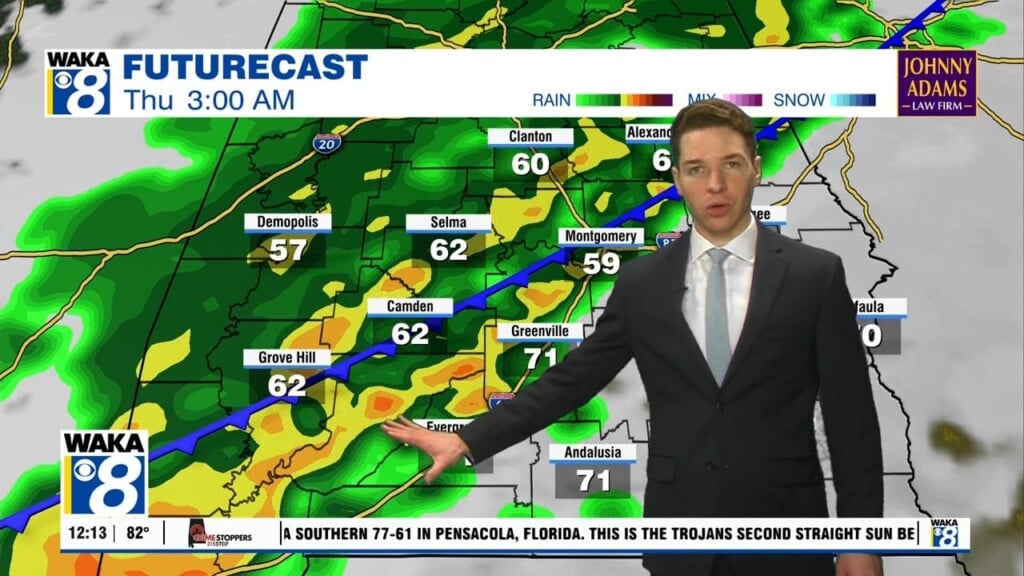
We continue under the influence of high pressure centered to our east. This system is allowing us to stay mostly clear and dry. Temps manage to reach the lower to mid 80s through midweek. The overnight numbers come up and hover in the upper 50s to lower 60s for lows. By Thursday, a tropical wave begins to work westward over the northern gulf. At the same time a frontal boundary will begin approaching us from the northwest. The combination of these two systems will dictate our weather for Friday and Saturday. Our best chance for rain comes through with the tropical wave Friday. Any lingering moisture will be picked up by the front and help produce scattered showers and storms Saturday. We go in between weather systems Sunday into Monday. We expect partly sunny skies with a slight chance of showers. Temps continue to warm into the upper 70s to lower 80s. Changes come into the area on Tuesday. Another frontal boundary heads into the area and we see a decent chance for showers and storms. Once this boundary is through here, we’re clearing and cooling down the remainder of that work week.


