Zeta Bringing Strong Winds Our Way!
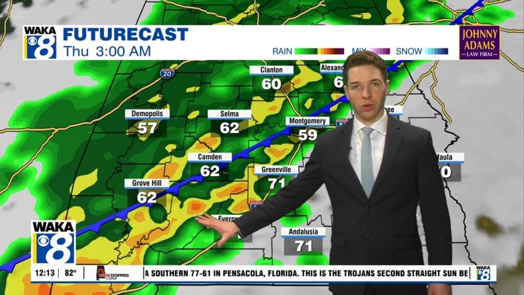
T.S. Zeta expected to strengthen back into a hurricane tonight or Wednesday. It makes landfall along the LA coast Wednesday afternoon and heads our way Wednesday night into Thursday morning. We expect winds to be the main threat with this tropical system for our area. Winds sustained at 20-40 mph and gust 45-65 mph. This is almost certain to cause power outages during the overnight hours Wednesday. We can’t rule out a few quick spin up tornadoes as well. Rainfall will be heavy and we can expect area of 2 to 4 inches with isolated spots near 6 inches. Everyone will need to be weather aware Wednesday night into early Thursday morning! Make sure you have phones charged up and several ways to receive warning information. Fortunately, Zeta will be moving rather fast and this will take most of the storm activity off to our east by 10AM Thursday. Sunny but much cooler conditions return just in time of the start of the upcoming weekend.


