Continued Hot & Mainly Dry Weather Pattern
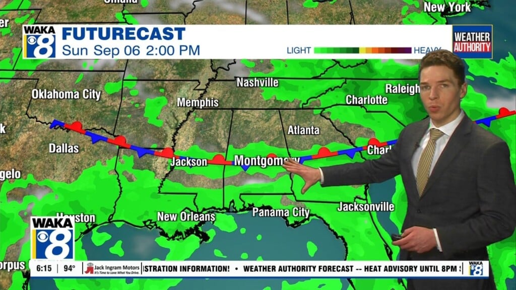
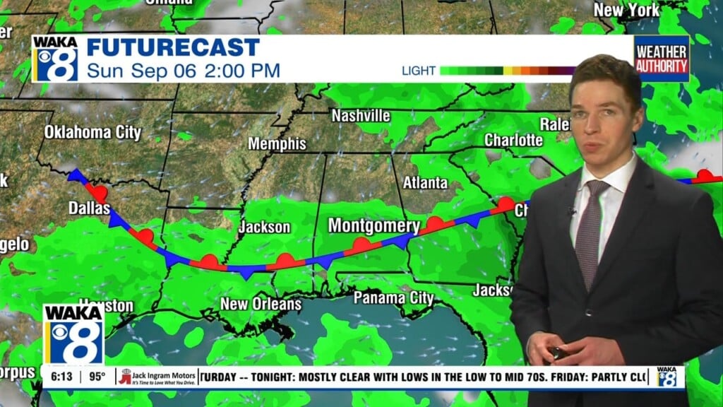
We continue to line up with a mainly dry northwesterly wind flow across our area. The dry air spilling into the area will heat up and we’re climbing into the mid to upper 90s for highs until further notice. A frontal boundary will move into the state Friday. This boundary will be moisture starved and any rain potential will be extremely low. The front may actually push through and a reinforcing shot of drier air spills into the state Friday night into early Saturday. Our weather conditions could trend slightly less humid but it may not be that noticeable. It will all depend on the front and if it can actually make it south of us. Moisture will gradually increase a bit next week and we will need to at least introduce a slight increase in the chance for afternoon pop up showers or t-storms. Temps will continue to manage mid to upper 90s for highs. Heat indices will still range between 100 to 110 degrees. By the way, the Perseid Meteor Shower will peak this Sunday night into early Monday morning. Our sky conditions look great for this years event.