Dry Days Before Rain Returns Thursday
DRY DAYS: Today and tomorrow will feature more sun than clouds, with highs in the upper 50s to lower 60s. Clouds begin to increase late Wednesday.
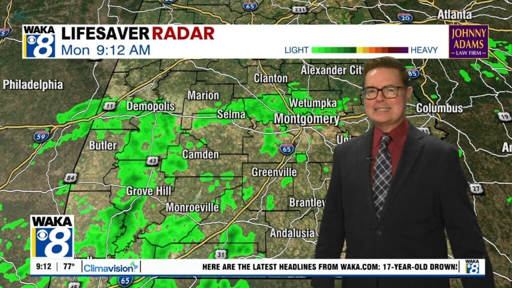
RAIN RETURNS: Moisture levels begin to rise late Wednesday with increasing clouds and rain returning to the area Thursday. The surface low will slowly move east across the state on Thursday that will bring a decent chance of rain throughout the day. It will be a cloudy and cool day with highs in the 50s. Rainfall amounts around 1/2 inches are likely, but no severe weather is expected. The rain ends late Thursday night and early Friday. Look for slow clearing Friday with a high in the lower 50s.
WEEKEND WEATHER: Saturday will start off cold, with freezing temperatures expected, but the day will feature generally sunny conditions with highs in the mid 50s. Clouds will be on the increase throughout the day on Sunday as our next rainmaker approaches, expect highs in the low 50s.
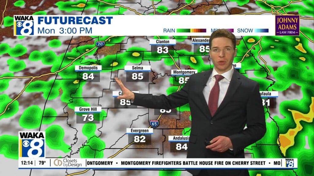
SUNDAY NIGHT/MONDAY: The next rainmaker will bring rain to the state Sunday night into Monday. Some model data suggest there could be some snow initially involved over North Alabama as the precipitation begins, so we will have to watch forecast trends in the coming days, but the thermal profiles suggest mostly rain for Alabama. This is a 5/6 days out and the forecast could easily change, but the main window for rain will come from about 8PM Sunday night through 8AM Monday. Monday the rain will end, but the sky should remain cloudy with highs struggling to climb out of the 40s.
REST OF NEXT WEEK: Dry weather returns on Tuesday, and the weather will remain cool and dry before more rain returns towards the end of next week.
Have a day full of blessings!!!
Ryan