An Active Weather Pattern Through Midweek
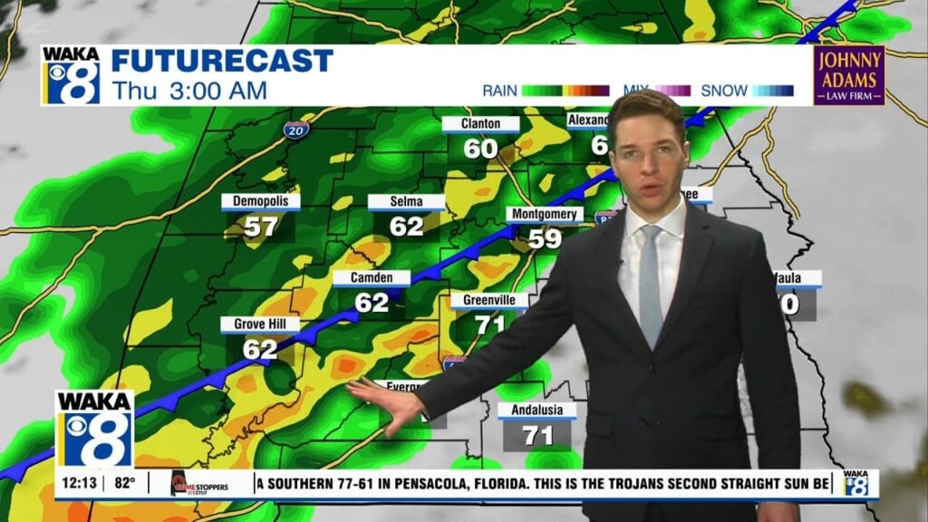
We have a rather active weather pattern through midweek. Rain and storms are likely at times. The first round comes through tonight into early Tuesday. It will be ahead and along the frontal boundary as it pushes through the state Some storms could be strong and possibly severe. The main threat will be damaging winds. Our tornado threat is low but not zero. More showers are possible throughout the day Tuesday. Temps continue very mild with highs in the lower 70s. The air mass remains very moist and the chance for rain lingers into Wednesday. We expect another frontal boundary to move into the area and sweep the precipitation to our east Wednesday night. High pressure returns and we begin to dry out and cool down late week. Sunny and dry conditions stick around through Saturday but clouds and rain return for Sunday.


