Rain/Storms at Times Through Wednesday
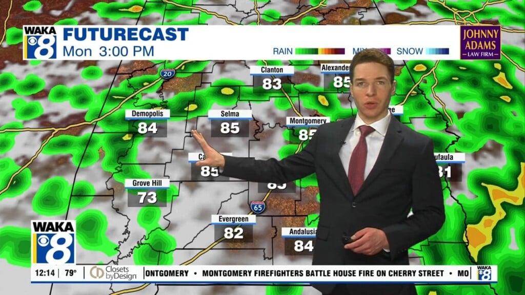
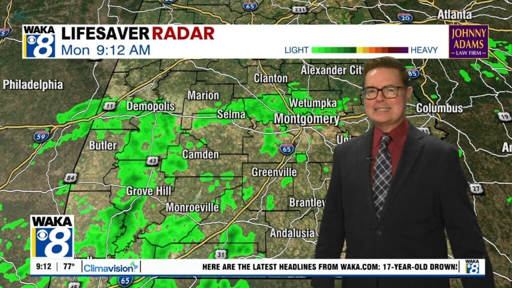
An approaching cold front is causing showers and thunderstorms this morning, and the SPC maintains “marginal risk” (level 1/5) of severe thunderstorms across South Alabama today.

As the front pushes south, a few storms could produce gusty winds, and there remains the chance for an isolated tornado or two. Make sure you remain weather aware and have ways to receive and hear severe weather alerts if and when warnings are issued. The cold front will stall across South Alabama today.
TODAY/TOMORROW: Rain and some storms will remain in the forecast today and tomorrow, with highs in the 70s are expected. Tonight, a wave of low pressure forms on the front, and will cause rain to overspread the state and persist into at least the first half of the day Wednesday. Highs tomorrow will remain in the 60s. Rain amounts between now and tomorrow afternoon will be in the 1-2 inch range, so a nice soaking, but again, no flooding issues.
ANOTHER FRONT LATE WEDNESDAY: Another cold front will come sweeping through the state late tomorrow, bringing an end to the rain as drier air moves in, and bringing winter temperatures back to the state as well. Thursday will be colder and mostly sunny day with highs hovering in the mid 50s. Friday morning, we fall back to below freezing. Then for the day Friday, expect a good supply of sunshine with a high in the upper 50s.
THE ALABAMA WEEKEND: Saturday looks dry; the sky will be partly sunny with a high in the low 60s. The next weather system will bring rain to the
state Saturday night into the day Sunday, and for now it looks like the most widespread rain comes from about midnight Saturday night to noon Sunday. Sunday’s high will be in the upper 60s for most places.
Have a Tuesday you won’t soon forget!!!
Ryan