Several Rounds Of Rain On The Way
Very Active Weather Pattern
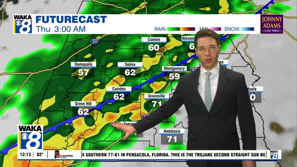
An active weather pattern will remain in place through the weekend and into next week. A frontal boundary will work its way into the state tonight. We expect a round of rain to pass through the area overnight into Friday. Rainfall potential will be light with .25 or less. The front moves south of us but waves develop along the boundary and bring more rain into the area Friday afternoon and Saturday. Temps will be cooler with highs in the 50s and lows around the mid 30s. We get a chance to dry out Sunday into Monday. Sunshine comes back and temps respond with highs in the mid 60s by Monday afternoon. A few more opportunities for rain come into play as we progress through the remainder of the week. High temps continue in the 60s and lows in the 40s through Thursday. It’s possible a much colder air mass drops into the deeps south later that week. There could even become a wintry precipitation threat Friday. All we can do is keep an eye on it at this point. Models have struggled with solutions for how next week plays out. Stay tuned!


