Mainly dry, temperatures approach record high territory this week
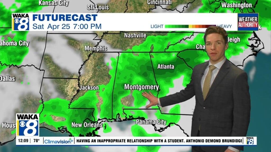
Strong storms moved quickly west to east through our area Monday morning. Storms entered our west Alabama counties around 8AM, and departed our southeast Alabama counties by noon. Fortunately, storms were sub-severe in our area. Severe and even tornadic storms affected Mississippi overnight and earlier in the morning, north Alabama during the morning, and far southeast Alabama and Georgia during the afternoon.
A few showers remain possible Monday evening as a cold front pushes into our area. Any rain that does form fades away before midnight, while the sky clears as the front sweeps through our area. Tuesday morning looks cooler in the wake of the front. Lows range from the low to mid 50s. However, Tuesday looks warm with sunshine. Expect high temperatures near 80°.
Temperatures warm to near-record levels Wednesday through Friday. Expect highs near 90° each day. Saturday looks abnormally warm too, with high temperatures in the upper 80s. Showers and storms look likely to return Sunday. We may need to watch Sunday’s storm system for severe weather potential. However, that remains uncertain at this time. Temperatures likely turn cooler again for much of next week.


