Wet Morning, Cloudy Afternoon
FOR TODAY: The rain and storms will wind down early, but there will remain the risk of severe storms across the southeast corner of the state from Troy down to the Dothan through the mid-morning hours.

For the rest of the state, it looks to remain mainly cloudy with some lingering light rain. Temperatures for Central and South Alabama will again be in the 40s and 50s.
FRIDAY & THE WEEKEND: Tomorrow will be a cold, dry day with some clearing, but temperature will have a hard time climbing out of the 40s with brisk northerly winds, it will be feeling colder. Expect a very cold Saturday morning with widespread 20s, but then the warming trend begins, and under plenty of sunshine, highs warm into the mid and upper 50s, then an even warmer day Sunday with highs in the mid 60s. Clouds should begin to increase late Sunday, ahead of our next system.
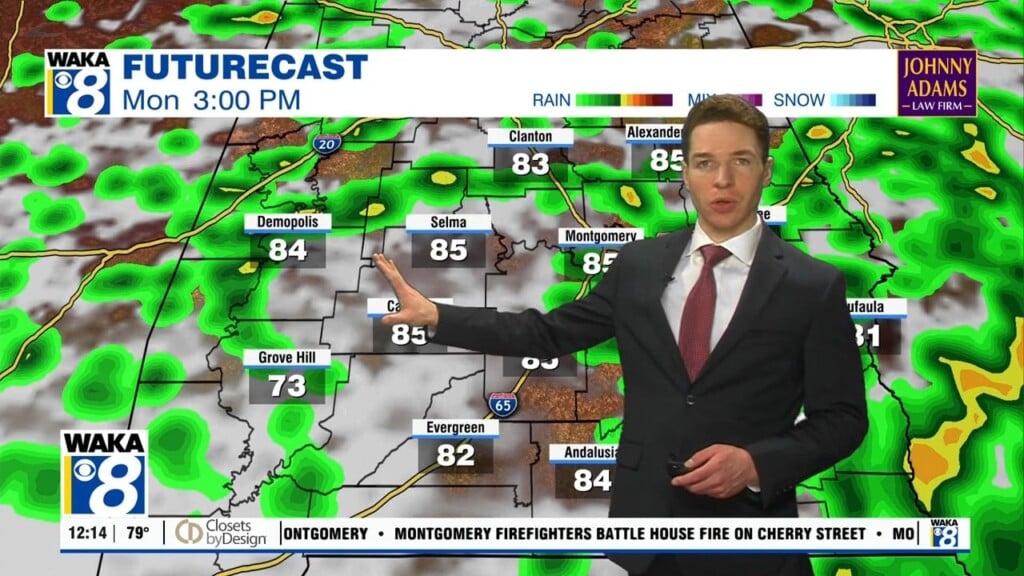
NEXT WEEK: Scattered showers are expected with a weak passing front Monday, and highs in the 60s. The rest of the week looks to feature milder weather as well with highs in the 60s, and lows in the 40s, pretty close to seasonal average for this time of year. And in fact, towards the end of the week, highs are expected to reach the 70s.
Have an amazing Thursday!!!
Ryan