Bitter Cold Air Heading South!
A little bit of spring-like warmth for us through Saturday afternoon but once we get into Sunday, old man winter comes at us with a blast of very cold air. A few spots could snag 70 degrees Saturday afternoon but 24-hours later we’re 30 degrees colder and dropping! A significant blast of cold air is heading south and we’re gonna feel it with lows in the 20s by Monday morning.
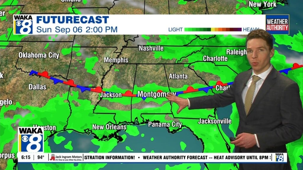
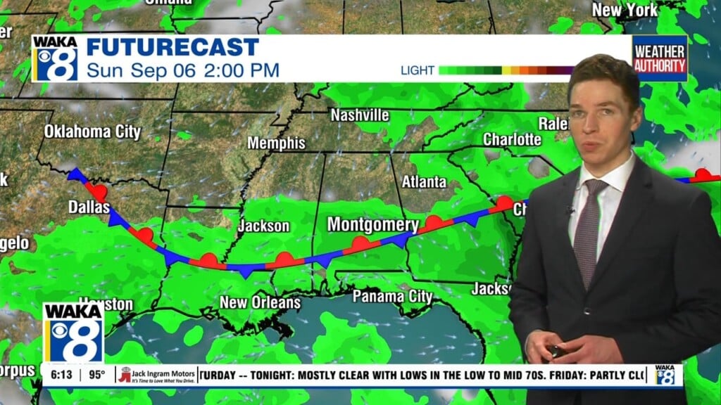
In the meantime, we have a very nice and warm Saturday ahead. We’re approaching 70 degrees in a few spots Saturday afternoon. It’s ahead of a frontal boundary that triggers a few showers during the afternoon hours. As the front moves farther south, an area of light rain accompanies the boundary overnight. Rainfall will be light and under a quarter of an inch.
We’re on the backside of the front early Sunday. Temps will be dropping throughout the day. Another shot of very cold air moves in and we’re in the lower to mid 20s Monday morning. Gusty northerly winds will contribute to wind chills in the teens Sunday night into Monday morning. The bitter cold will linger into Tuesday as well. Temps start in the mid 20s but do reach the mid 50s by the afternoon. High pressure returns and sets the stage for sunny and dry conditions through Wednesday. Temps will be on a warming trend and we’re back in the lower 60s by Wednesday afternoon. Another front approaches and we have the chance for some rain Thursday.