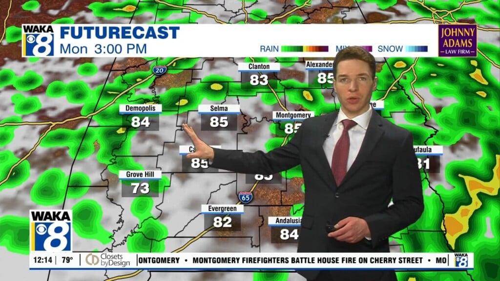
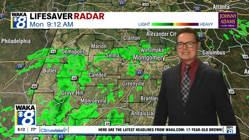
Showers & T-storms Likely Through The Holiday Period
We’re in a very active weather pattern and it’s going to be sticking around for a while. You can expect hot and humid conditions with mid to upper 80s for highs and periods of showers and t-storms each day.
Our holiday period running Friday through Monday will be revealing more hot and humid conditions. We expect to see an increase in shower and t-storm activity. Scattered and t-storms are likely to develop during the late afternoon heating hours. Some storms could be strong to severe Friday. The main threats will be damaging wind gust up to 60 mph and a brief tornado.
The rest of the holiday weekend will look and feel rather familiar with temps in the mid to upper 80s for highs. Plenty of moisture will be available to fuel scattered showers and t-storms each day. It won’t be raining all the time but the rain activity may have an impact on outdoor plans at times.
Click here for more from WAKA.