Scattered showers, storms through this weekend; June begins drier
Wednesday morning began mainly dry, but showers and storms were scattered about, mainly along and south of highway 80 by midday. Otherwise, the sky was mostly cloudy throughout the morning. The sky remains mostly cloudy Wednesday, while showers and storms stay scattered about, moving south to north through sunset. Temperatures warm into the 80s, perhaps mid and upper 80s in locations that remain dry long enough.
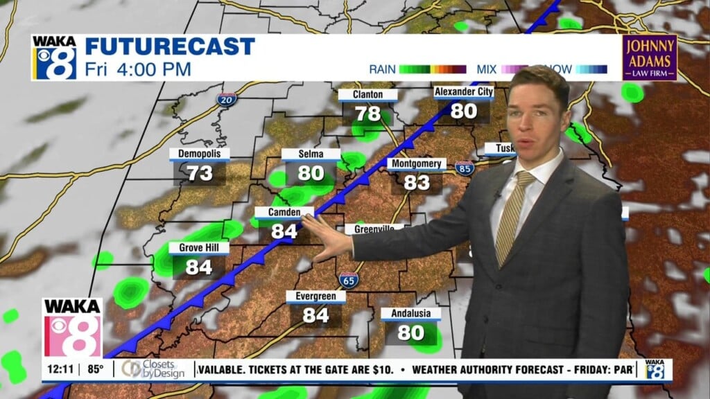
Showers and storms gradually fade away after sunset, so our area become mainly dry while the sky remains mostly cloudy Wednesday night. Temperatures only fall into the upper 60s to low 70s, while humidity remains high. The humidity fuels scattered showers and storms from sunrise to sunset Thursday and Friday. Although, high temperatures may be near 90° each day before cooling rain arrives.
Rain coverage remains scattered this weekend, as a front remains stalled and draped across the southeast. Wednesday’s weather model runs suggest the front may move south of our area by the middle of next week. If that happens, the first week of June could be drier and cooler. High temperatures may range from the low to mid 80s, with low temperatures in the low to mid 60s.
Click here for more news from WAKA.