Severe risk Wednesday evening, heat advisory continues Thursday
Wednesday was *another* very hot and humid day across central and south Alabama. A heat advisory continues for counties in our area generally along and north of highway 80 through 9PM Thursday. Heat indices may approach or exceed 105° again on Thursday afternoon. Meanwhile, a severe thunderstorm watch expired at 8PM Wednesday for counties along and north of highway 80.
Showers/storms gradually taper off Wednesday evening. Wednesday night becomes partly cloudy with lows in the low to mid 70s. Temperatures warm into the mid 90s again Thursday afternoon with higher heat indices. Rain coverage looks lower Thursday. Although, isolated showers and storms remain possible. A marginal (level 1/5) severe risk includes the northern row of counties in our area. A storm or two could produce a damaging wind gust.
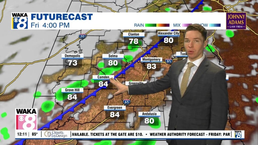
Friday looks like another hot day with just isolated afternoon/evening showers/storms. Temperatures surge into the mid 90s, with heat indices potentially approaching 105° again. Independence Day weekend remains very hot and humid, with high temperatures in the low to mid 90s. However, rain coverage increases, with widely scattered showers and storms Saturday, and scattered showers/storms Sunday.