Another Stretch Of 90+ Heat Ahead
We’re heading towards another stretch of 90+ degree heat. High pressure is establishing itself over the state. Temps will begin to climb and we’re back into the lower to mid 90s again. You factor in the humidity and it will feel more like 100 at times.
In the meantime, we’re expecting a mostly clear sky with temps hovering in the 80s during the evening but dropping into the lower to mid 70s for overnight lows.
High pressure will be the main weather feature impacting our weather Friday into the weekend. It’s a typical July weather pattern. You can expect a mostly sunny sky along with isolated showers or t-storms. The heat will crank up again and temps respond with lower to mid 90s Friday through the upcoming weekend.
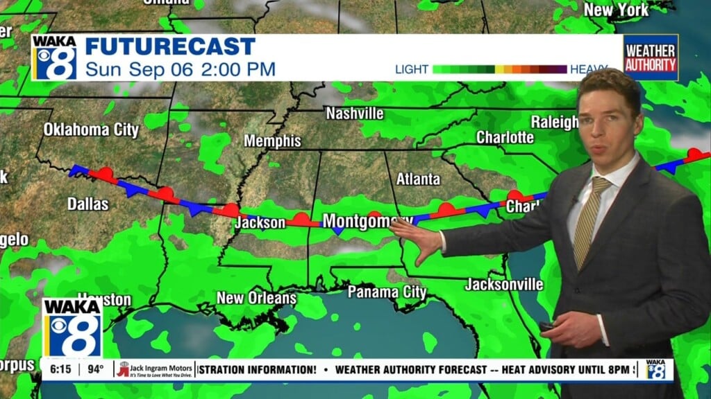
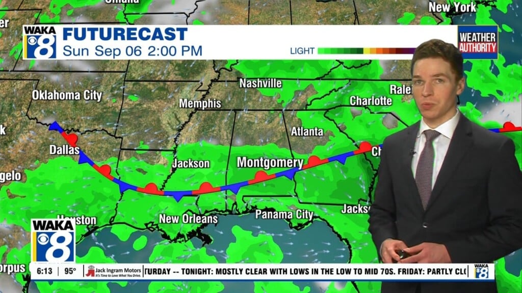
Moisture will begin to increase and we should see scattered showers and t-storms around for the weekend. The rain activity may have a tropical connection to it. Down to our south over the Northeastern Gulf, an area of low pressure will try to form. It could have just enough time to become something tropical before moving inland over the Florida peninsula Sunday. Looks like the low will track northeastward and bring gusty winds and rain to coastal GA, SC, And NC early next week.