Hot & Humid With Tropical Showers South
We have another hot and humid week ahead. Temps will manage the lower to mid 90s for highs but when you factor in the humidity it will feel more like 100 to 105. It’s dangerous heat and caution is advised during the peak heating hours.
In the meantime, tropical depression #2 is working its way across the northern gulf. It’s forecast to become tropical storm Bertha later tonight or Tuesday. It doesn’t look like a significant storm but it will have impacts along the gulf coast region. Seas and surf will be higher and dangerous through the week. Gusty winds and periods of heavy rain are likely. The circulation around the tropical system will produce tropical showers/t-storms across South Alabama at times. The tropical system is expected to move westward and make landfall over Southeastern Louisiana late Wednesday into early Thursday. The system will weaken and eventually end up in Eastern Texas Friday into Saturday. We’re on the northern side of the track and can expect tropical showers across South Alabama Tuesday and Wednesday.
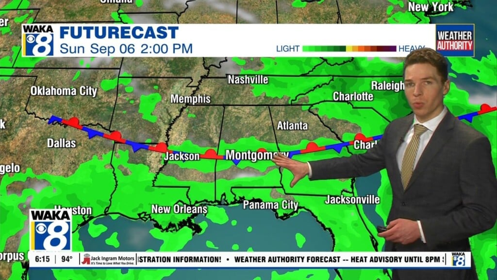
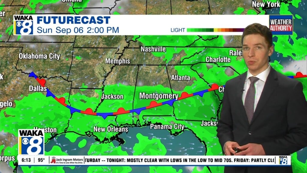
A frontal boundary will make an approach to our area late in the week. We expect rain chances to increase Thursday through the upcoming weekend. Scattered showers and t-storms will be possible each day. Temps will continue hot with highs in the lower to mid 90s.