High temperatures near 100° again Tuesday, severe storm risk late
Temperatures were in the mid to upper 90s by 1PM Tuesday, while heat indices were near 110° in some locations. Our area was mainly sunny with no rain at that time, but initially isolated showers and storms form later Tuesday afternoon. A somewhat organized cluster of storms may move west to east through our area Tuesday evening. This cluster of storms may produce a few damaging wind gusts up to 60 mph. A marginal (level 1/5) severe risk includes west Alabama Tuesday.

Otherwise, Tuesday looks like another blazing hot day with high temperatures near 100° and peak heat indices at or above 105°. A heat advisory covers most of our area Tuesday and Wednesday. Showers/storms linger into Tuesday evening, but ultimately fade away Tuesday night. The sky becomes partly cloudy with lows in the mid 70s. High temperatures range from the mid to upper 90s Wednesday and Thursday. Both days could be drier, with less afternoon storm activity.

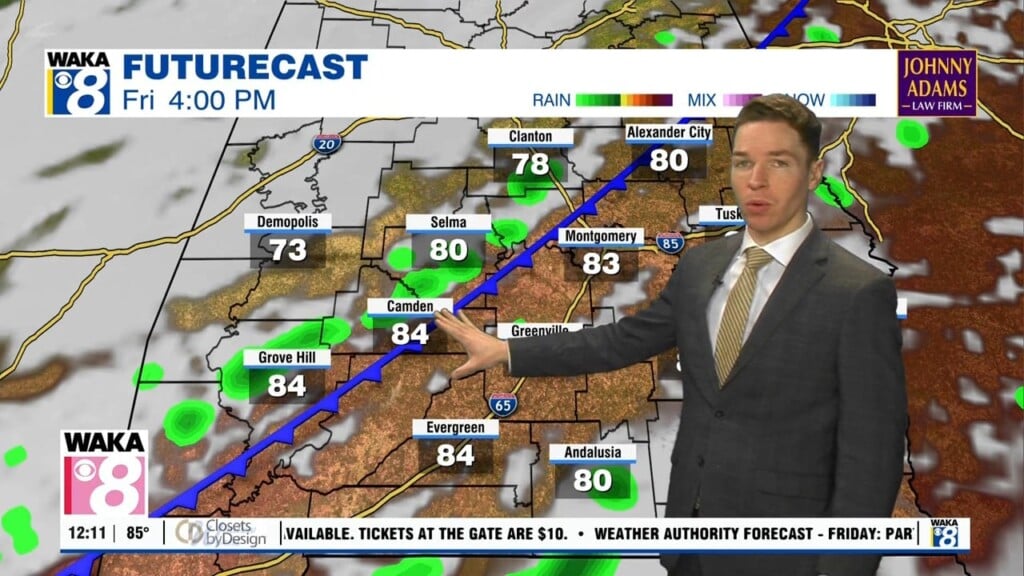
The heat could finally be less intense this weekend. Another front swings into the south Saturday. Rain coverage may increase in advance of the front Friday, which may keep our high temperatures mostly in the mid 90s. The front may move through and south of part of our area Saturday. Slightly cooler, drier and behind the front may keep high temperatures in the mid 90s Saturday and Sunday despite very low chances for rain.