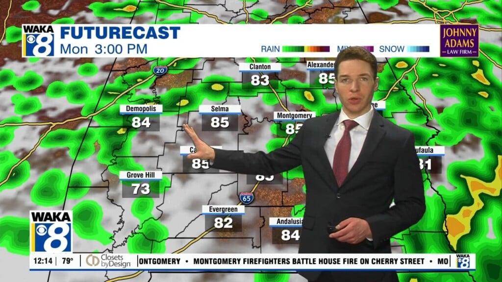
Another Very Warm Day; Some Showers Return Tonight
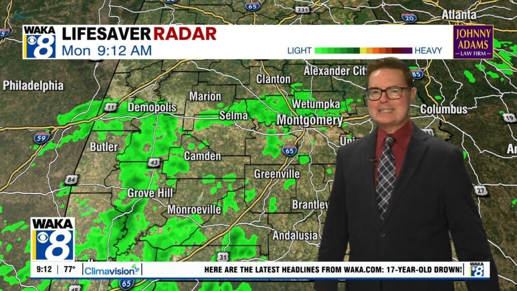
TODAY/TOMORROW: Clouds will increase later today across the state as a frontal boundary approaches the state overnight tonight. Today will remain dry and very warm with highs again well into the 80s. Rain will return to Alabama tonight as a band of showers pushes through the state early tomorrow morning. Little instability and weak dynamics means some rumbles of thunder are possible, but no severe storms for much of Central and South Alabama, but we note the SPC has placed a risk for severe storms across the northern half of the state for some reason.

Not really expecting much thunderstorm activity, but the rain will end early Friday as the front pushes through South Alabama. Rain amounts less than one-half inch are expected. Behind the front, Friday will be a bit cooler with highs back around 80°.
FIRST WEEKEND OF MAY: Better model agreement no suggest Saturday will be dry, but rain chances increase through the day Sunday. Saturday will be a dry and pleasant day with a good supply of sunshine and highs around 80°. Sunday will feature more clouds than sun, and we will mention a chance of scattered rain showers, especially late in the day and into Sunday night. Highs Sunday will be in the mid 80s.
NEXT WEEK: Moist air will remain in place, meaning we will need to keep scattered showers and storms through midweek. It will remain warm each day with highs in the mid to upper 80s, with more clouds than sun each day. We also note that we could deal with some stronger storms at times next week.
Have the best Thursday ever!!!
Ryan