Mostly Dry Weekend Ahead
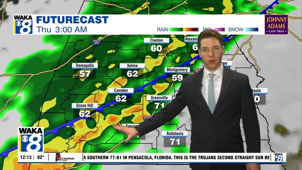
We’re on the backside of a frontal system and this puts us in a drier setup for now. We expect lots of sunshine with temps warming into the mid 80s Saturday. Most of Sunday stays dry but moisture begins to surge into the area as the day progresses. We’re facing showers and storms late Sunday afternoon into the evening and overnight hours. Some of the storms could be strong and possibly severe over extreme west Alabama. The main threats will be damaging winds and hail. We head into next with with an unsettled weather pattern in play. Showers and storms will be likely Monday through Wednesday. There will be periods of strong to possibly severe storms once again. The air mass remains rather warm with temps managing low to mid 80s despite the rain/storm activity. A frontal boundary swings through early Thursday. This boundary will sweep the storms east of us and put the area back into a drier air mass. We finish out the rest of that week sunny and mild.


