Rain/Storms Through Midweek
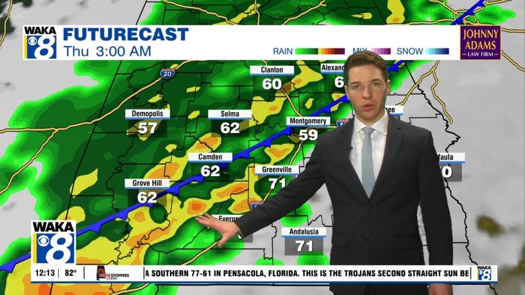
We’re in a very active weather pattern through midweek. Rain and storms are likely and some storms could be strong to severe, especially Tuesday! A frontal boundary will make its way towards us. Ahead and along the boundary we expect areas of rain and storms. It’s looking like two possible rounds for Tuesday. A morning round and then afternoon/evening round. Both will be capable of damaging winds and hail. A tornado threat will favor the afternoon round of storms. Everyone will need to stay weather aware throughout the day and evening hours. Our weather begins to improve Wednesday afternoon. The frontal boundary moves through and takes to rain activity out of the area. Drier air returns and we finish out the workweek with some really nice weather conditions. You can expect lots of sunshine along with milder temps in the 70s for highs late week. At this point, we see the dry conditions continuing into the weekend. A notable change will be much warmer temperatures. Daytime highs will head back into the mid to upper 80s both Saturday and Sunday. At this point, Mom’s Day is looking mostly sunny and warm with upper 80s during the afternoon. More rain heads our way early next week.


