An Active Weather Pattern Ahead
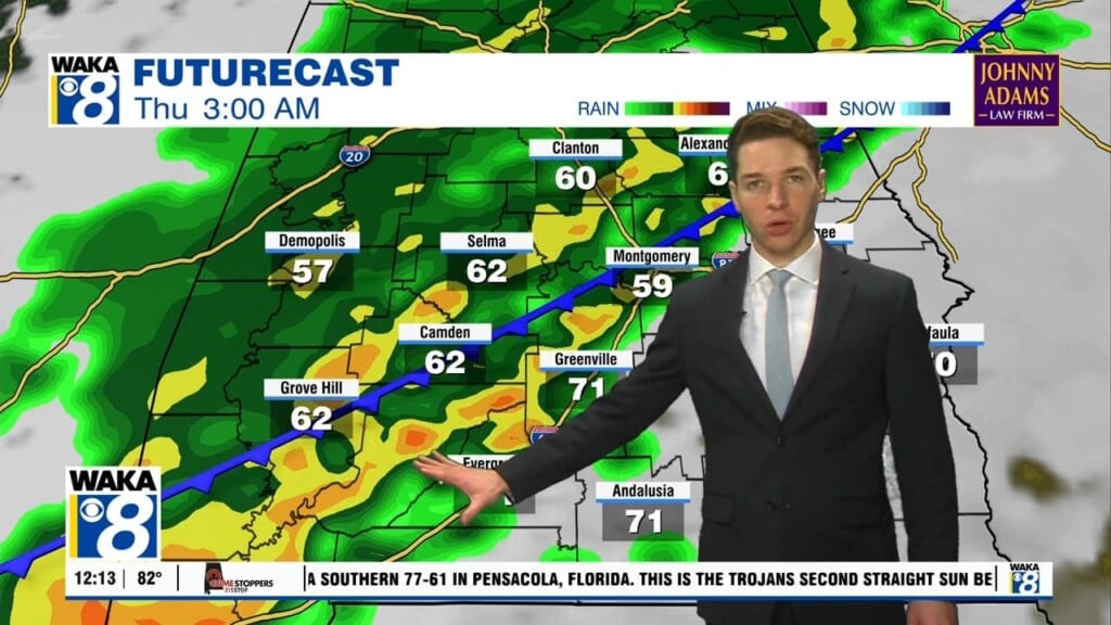
We have picked up a southerly wind flow and that’s going to drive moisture into the area over the next several days. It will lead to an active weather pattern for the latter half of the week and the upcoming weekend. Isolated showers and storms are possible Wednesday and Thursday. Most will occur during the afternoon hours. Temps will continue to manage upper 80s to around 90s for highs through Thursday afternoon. A frontal boundary will work its way into the area Thursday. It will fizzy out over us but be the focal point for scattered showers and storms. Our rain chances will increase Friday through Monday. Scattered showers and storms are likely each afternoon. Clouds and rain activity should help bring the heat down just a bit. Highs will retreat into the mid 80s.


