Front Moving Our Way
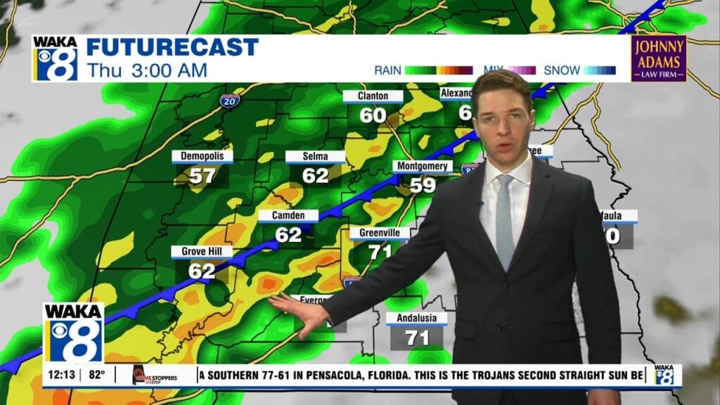
We continue with this hot and humid weather pattern through Thursday. Temps will manage upper 80s to lower 90s for highs. Scattered showers and storms are likely throughout the afternoon hours. We have an increase in showers/storms as a frontal boundary moves into the area Friday. Showers and storms will form ahead and along the boundary. There could be a few strong storms moving through but we don’t expect any will go severe. The front will make a push all the way into south Alabama where it will hang up and be the focal point for more storms over the weekend. Our southern counties will have the better chance of seeing rain/storms while areas north of the 80/85 corridor remain dry. Temps will still manage mid to upper 80s for highs both days. Meanwhile, down in the tropics were watching a system that will likely become T.S. Elsa tomorrow. This system could enter the gulf early next week. We will keep you posted.


