Daily Repeat Of AM Sun PM Storms!
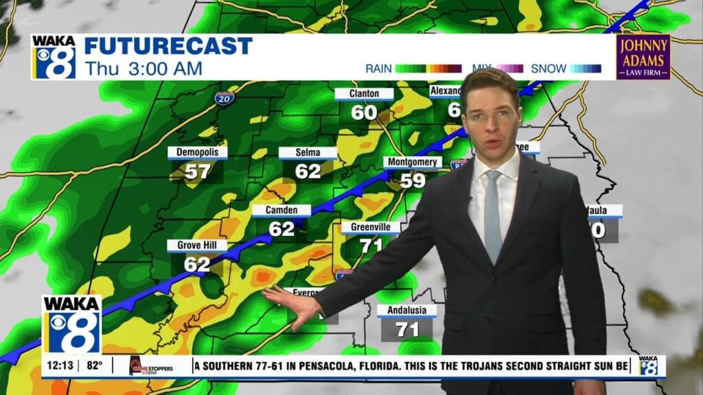
It continues to be a daily repeat of morning sunshine and then afternoon storms. We see this being the case through the upcoming weekend. That morning sun will help send temps into the lower 90s for highs. The daytime heating along with an ample supply of moisture will fuel showers and storms. Any of the storms that do develop will be capable of heavy downpours, gusty winds, and frequent lightning strikes. The storms will weaken and die out during the evening hours. Overnights will support warm and muggy conditions under a partly cloudy sky.
In the tropics, we still have T.D. Fred. Its barely staying alive but conditions are favorable for some strengthening Friday and we should have a tropical storm by Friday evening. The storm will make its way into the southeastern gulf early Saturday. Some additional strengthening is possible as it moves northward over the eastern gulf. A landfall would likely come sometime Sunday night into early Monday. This would be somewhere along the northeastern gulf coast of Florida. The NHC forecast track has it moving along the Alabama/Georgia line Monday into Tuesday. This position would keep the greater impacts off to our east. We should still see an increase in our rain chances along with gusty winds. There’s still a lot of uncertainy and if there’s a more westward track, we could see more direct impacts. Stay tuned!


