Fred Bringing Breezy & Wet Condition Northward
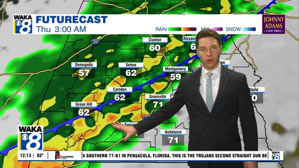
Tropical Storm Fred is onshore and moving northeastward into the Florida panhandle. It will track into southeast Alabama tonight through early Tuesday morning. The greatest impacts will be seen across southeast Alabama. Most spots west of I-65 receive very little impacts from this tropical system. Areas to the east will have the potential to pick up 2 to 4 inches of rainfall along with wind gust up to 40 mph. What’s left of Fred will be well to our north by Tuesday afternoon/evening.
It’s back to the usual hot and humid conditions for the remainder of the work week. Temps will manage upper 80s to lower 90s for highs. Those scattered showers and storms will be possible each afternoon. These will help knock the heat down where they occur.
We head into the upcoming weekend with high pressure over the deep south. This will help keep us in the familiar weather pattern. The heat begins to crank up a bit and we should start seeing some mid 90s for highs again. Scattered showers and storms are still possible but we may see fewer in number.


