Ida Impacts Monday Through Tuesday
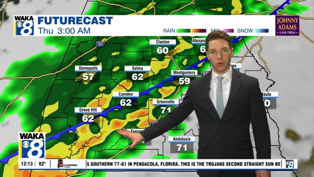
The center of Ida will be moving west and north of us but close enough to deliver several impacts to our area Monday through Tuesday afternoon. We expect a tornado threat areawide. These would be quick spin ups embedded in tropical rain bands passing over us. Rainfall potential will range between 2 to 5 inches. The heaviest totals will occur west of the I-65 corridor. Windy conditions are expected with sustained winds 10-20 mph and gust up to 45 mph. We would expect the strongest winds west of that I-65 corridor. Where storms aren’t occurring, you can expect mostly cloudy and breezy conditions. Temps will hover in the lower to mid 80s for highs. What’s left of Ida will be well to our north by Wednesday. Looks like a return to typical summertime conditions to finish out the work week. Basically, partly sunny skies along with a few afternoon showers or storms. Temps will heat back up into the upper 80s to lower 90s.


