Dry & Milder Days Ahead
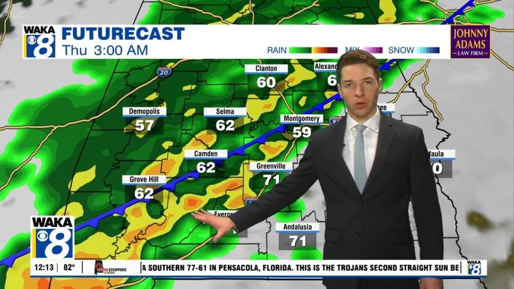
A frontal boundary has pushed through and stalled across the AL/FL line. Northerly winds are ushering in much drier air behind the front. This will help provide us mostly clear skies and milder conditions for a change. Morning temps will manage mid to upper 60s Friday and Saturday. Afternoon highs will still reach the upper 80s to lower 90s. We expect this to be the case through Sunday. Another frontal boundary will be on approach Monday. Once again, moisture increases and there will be a chance for afternoon showers and storms. The boundary hovers over the area through midweek. It will become the focal point for additional showers and storms each afternoon. Temps will still manage to reach the lower 90s for highs. It’s looking like another surge of drier air makes a run at us later in the work week. This could set the stage for another round of nice conditions heading into that following weekend.


