Wet Start to Week, Bitterly Cold End to Week
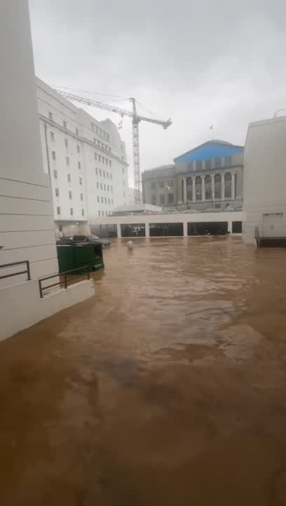
STORMY START TO WORK WEEK: A low pressure system off the Texas coast today, will lift north across the state, bringing with it another round of strong storms for late Monday and into early Tuesday. The latest GFS has the low lifting Northwest Alabama, that track of the low will allow a warm sector to surge north across the state and that will allow for those storms across the state, with the best chance for severe storms over South Alabama. Currently, on their day one convective outlook, the SPC has locations along and south of a line roughly along the U.S. 80 corridor in a “slight risk” for severe weather. The exact northward extent of the severe weather will depend on how far north the warm, moist air mass makes it inland. The best chance of storms will come Monday night and early Tuesday. We will start to dry out by the time Tuesday evening arrives. Highs will be in the 50s and 60s across the area on Monday, and back up into the 60s for Tuesday.
RAINFALL AMOUNTS: For much of Alabama, by the time the rain is finished tomorrow morning, rainfall totals for much of the area will range from 1-2 inches, with a few spots perhaps getting more. We need every drop, and these soaking rains will not end the drought, but should hopefully put a nice dent in the conditions.
THE FIRST ARCTIC FRONT: The first true Arctic front of the season will come blowing into the state late Wednesday. There could be a narrow line of showers along the front as it pushes through the state. No severe weather, but just know light rain will be possible early Thursday. Behind the front, our winds will shift out of the northwest and will be howling at 10-20mph, with highest gust, and with these winds, comes the Arctic air.
WINTER IS COMING: There is my first Game of Thrones reference of the season…Behind the front, the coldest air of the season arrives and we are forecasting bitterly cold weather as the floodgates to the Arctic are open for business. Thursday will be a cold and blustery day. The sky will be gradually clearing and temperatures will likely be in the lower 50s, and with those gusty winds, it will feel much colder. Then heading into Thursday night, here comes the freeze as lower 20s are coming for us all, and there likely may be teens on the maps Friday morning. Friday will be a day full of sunshine, but don’t let that fool you, highs likely hold in the lower 40s all day, which is over 20 degree below average.


