More Rain Through Midweek
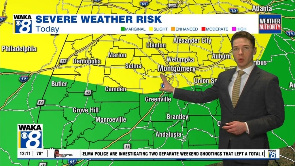
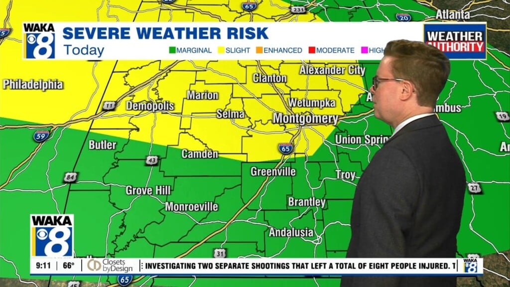
We remain in a moisture rich environment through midweek. This means there will be more showers and storms moving through the area. Temps will manage mid to upper 80s for highs through Tuesday. Fall officially begins on Wednesday. It will arrive along with a cold front that will bring an end to all this rainy weather we’ve been experiencing lately. The front will pave the way for much cooler air to invade the deep south. Northerly winds will usher in clear and cooler conditions for a change. Morning temps will head down into the lower to mid 50s while afternoon highs only manage mid to upper 70s. It’s going to feel very bit of fall late week and into the upcoming weekend. It’s looking perfect for any out door plans Saturday or Sunday. A sunny and dry weather pattern hangs on going into the first half of next week. Temps will be warming and afternoon highs should return to the mid and upper 80s.


