Dry And Warmer!
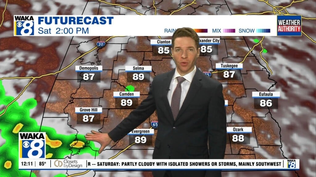
The old pesky low pressure system has moved farther north of us and this is allowing us to begin a drying trend. High pressure is moving closer and we see sunny and drier days going forward. Some morning fog is likely Friday but that lifts and we’re into mostly sunny skies by late morning. Temps will head back into the mid 80s for highs. The ridge of high pressure will maintain a hold on our weather for the weekend. You can expect lots of sunshine and warm temps. Highs will manage mid to upper 80s and overnight lows in the lower to mid 60s. The warm and dry weather pattern continues well into next week. It’s not until late week that we have a cold front knocking on the door. We will need to introduce a chance for showers next Thursday. The chance for showers and storms will linger into Friday and could be around for part of that weekend. It’s still a bit early on specifics this far out. My thinking is, if the front can push through the area, we might have a cool down during that weekend.